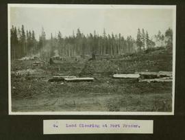
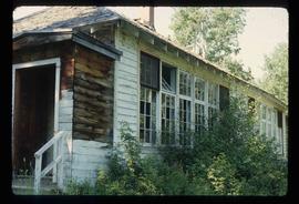
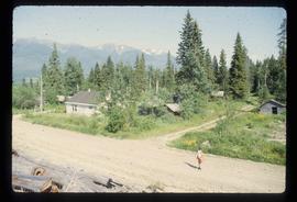
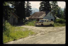
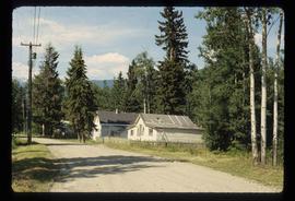
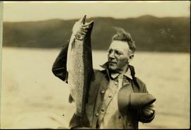
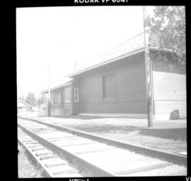
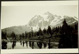
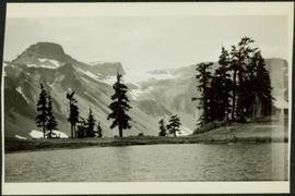
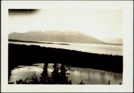
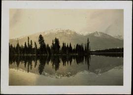
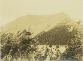
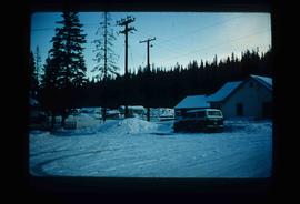
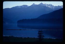
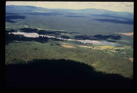
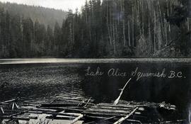
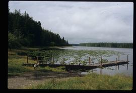
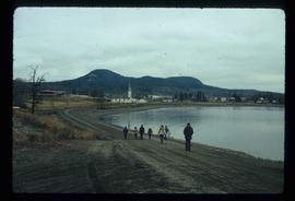
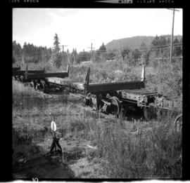
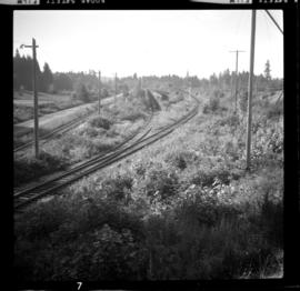
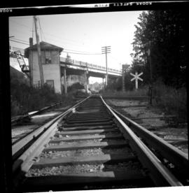
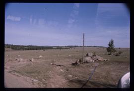
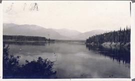
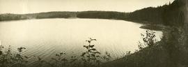
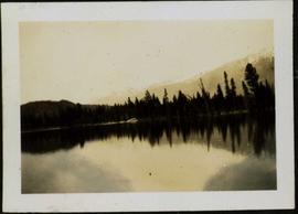
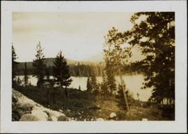
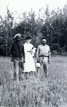
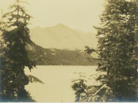
Image depicts a view of the landscape in an uncertain location.
Photograph depicts one man standing on the bank of a river, forest in the background. The image is not in focus or possibly a double exposure.
Photograph depicts "Landing Craft #10," of the B.C. Provincial Forestry Service.
Typed caption glued to album page directly below photograph reads: "6. Land Clearing at Fort Fraser." Photograph depicts a cleared section of land, piles of cut timber and a debris fire. Photographer: Dominion Stock & Bond Corporation.
Photograph depicts land clearance between Monashee Pass and Lumby, B.C.
Image depicts the old school building in Lamming Mills, B.C.
Image depicts a small section of the area surrounding Lamming Mills, B.C.
Image depicts a Yellowhead Realty sign in Lamming Mills, B.C. It reads: "For Sale, entire community, 50 buildings, 60 acres."
Image depicts what appears to be the old, abandoned mill in Lamming Mills, B.C.
Image depicts what appears to be a part of the old, abandoned mill in Lamming Mills, B.C.
Image depicts several old houses and an old, yellow pick-up in Lamming Mills, B.C.
Image depicts several boarded-up houses in Lamming Mills, B.C.
Image depicts the old, boarded-up community hall in Lamming Mills, B.C.
Image depicts an old, boarded-up store/office in Lamming Mills, B.C.
Image depicts a boarded-up house in Lamming Mills, B.C.
Photograph depicts a rocky lakeshore at Moberly Lake with leafy trees in the foreground.
Image depicts a large group of people enjoying the Mount Layton Hot springs in the Lakelse Lake Provincial Park north of Kitimat, B.C.
Image depicts the Lakeland Sawmill in Prince George, B.C, identified by the beehive burners; the one with white smoke belonged to Pas Lumber Co. which was bought out by Lakeland in 1987.
Image depicts the Lakeland Sawmill in Prince George, B.C.
Typed annotation on recto: "Lake trout - Stuart Lake, B.C." Lake and hills on opposite shore in background.
Image depicts a camper on the shore of what is possibly Melita Lake, near the Tseax Cone.
Photograph depicts a small inland lake, trees and low hills border the lake.
Photograph depicts Lake Cowichan. Trackage that is unconnected is visible in the foreground. Depot itself is a house and a rail museum combined. It was closed at the same time as the Honeymoon Bay mill. Permission was given to close the 18 mile brand line on November 13, 1984. Track lifting commenced on November 20, 1984.
Photograph depicts Lake Chelan in Washington state.
Photograph depicts trees on water shore, lake in foreground, mountain in background. See also item 2009.5.2.80.
Photograph depicts trees on water shore, lake in foreground, mountain in background. See also item 2009.5.2.79.
Photograph depicts a large lake, trees in foreground, mountains in background. Area speculated to be near Atlin, B.C. Handwritten annotations on recto of photograph: "36", "Aug 3 on way to A '[Homell?]'."
Photograph depicts a glassy body of water with trees on opposite bank crossing mid ground. Mountains visible in distant background. A clear reflection of the trees and mountains is mirrored in the water. Handwritten photo caption below photograph reads: "The Whistlers across Lake Beau Vert (7. AM.)"
Photograph depicts a large body of water with trees on opposite bank crossing mid ground and reflected in the water. Mountains visible in distant background. Handwritten photo caption below photograph reads: "Lake Beau Vert and Whistler Mt Jasper Park."
Photograph depicts a body of water with trees on opposite bank crossing mid ground. Trees and rocks in foreground, hills visible in distant background. Handwritten photo caption below photograph reads: "Lake Beau Vert."
Photograph depicts an unidentified lake as seen through coniferous trees. In the background a mountain is visible with trees at the base.
Photograph depicts an unidentified lake seen through the tops of coniferous trees. In the background a large mountain is visible with trees at the base.
Image depicts an aerial view of several lakes and their surrounding areas at an uncertain location.
Image depicts an aerial view of a lake and the surrounding area at an uncertain location.
Image depicts an aerial view of a lake, and what appears to be a set of railway tracks running towards the mountains in the distance. The location is uncertain.
Image depicts a lake and a mountain in the distance. The location is uncertain.
Image depicts an aerial view of a lake and large, forested areas. The location is uncertain.
Image depicts a lake and a cabin at an uncertain location.
Image depicts a lake with a "Swim at Own Risk" sign at an uncertain location.
Image depicts a lake with lily pads somewhere on Haida Gwaii.
Image depicts a lake with numerous buildings along the shore. The location is uncertain.
Image depicts the Lajoie hydroelectric generating station at the Lajoie Dam on the Bridge River (view of powerhouse and tailrace from top of dam).
Image depicts the Lajoie Dam on the Bridge River from the upstream side.
Image depicts the Lajoie Dam on the Bridge River, upstream side, showing part of Downton Lake and, in the foreground, the spillway intake.
Photograph depicts disused cars on the CPR spur just north of the crossing between the Esquimalt & Nanaimo Railway and Comox Logging and Railway Company (Division of Crown Zellerbach Canada Ltd.)
Photograph depicts the Ladysmith diamond crossing, looking north from the highway. Esquimalt & Nanaimo Railway is visible on the right and in the centre. On the left are the Comox Logging and Railway Company lines. Strings of disused log cars are on the centre tracks and are owned by CPR.
Photograph depicts the crossing between the Esquimalt & Nanaimo Railway (the camera is facing these tracks) and Comox Logging and Railway Company. The guard tower was manned at 7:00 p.m. and had its roof recently reshingled. It faces southward.