2013.6.36.1.028.39
·
Item
·
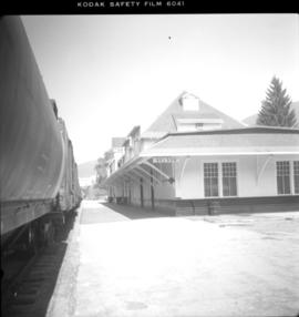
18 Sept. 1970
Part of David Davies Railway Collection
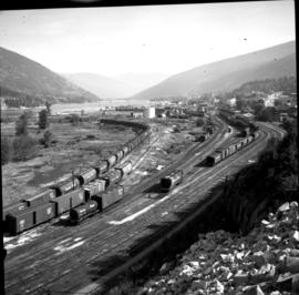
Photograph depicts a general view of the Nelson CPR yards. An icehouse shown in another photograph appears on the right edge of the photograph at about 1 3/4" above the right hand bottom corner. The main depot building is just beyond the icehouse at the "10 o'clock" position.