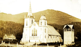
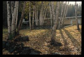
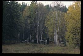
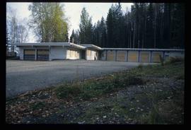
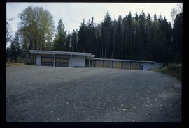
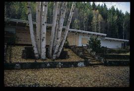
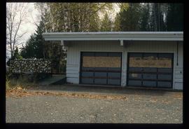
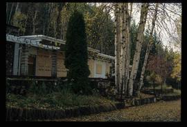
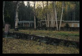
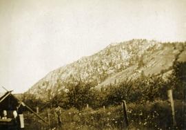
Showing 17231 results

Archival description
17231 results with digital objects Show results with digital objects
Ginter House
2012.13.1.14.03 · Item · Dec. 1997
Part of J. Kent Sedgwick fonds

Image depicts the Ginter House and the surrounding woods, in Prince George, B.C.

Girder bridge, Keremeos
2013.6.36.1.070.08 · Item · [July 1967]
Part of David Davies Railway Collection

Photograph depicts a covered wooden grider bridge of the former Great Northern Railway spur that ran from north Washington state into B.C. at Keremeos, then west to Princeton. It was now only operating as far north as Keremeos.

Girder bridge, Keremeos
2013.6.36.1.070.07 · Item · [July 1967]
Part of David Davies Railway Collection

Photograph depicts a covered grider bridge of a former railway (subsidiary of the Great Northern Railway, built in 1907-14) that formerly ran between Keremeos and Princeton, but had long since been lifted. The bridge was now used by vehicles going to a nearby ranch.

Girl on Horse-Drawn Wagon
2009.5.2.203 · Item · [ca. 1910?]
Part of Taylor-Baxter Family Photograph Collection

Young girl stands with dog in front of an adult on flatbed pulled by horse in foreground. Fence, building, trees, and hills in background. Handwritten annotation on recto of photograph: "[Gineva?] - and Eleanor (my niece)."

Giscome
2012.13.1.87.175 · Item · [between 1975 and 1995]
Part of J. Kent Sedgwick fonds

Image depicts the Giscome, B.C. town site with the Giscome railway station and the Giscome store in the center surrounded by vehicles. Map coordinates 54°04'18.5"N 122°21'57.7"W

Giscome - Church
2012.13.1.87.099 · Item · [between 1975 and 1995]
Part of J. Kent Sedgwick fonds

Image depicts a church in Giscome, B.C. Map coordinates 54°04'16.2"N 122°21'54.3"W

Giscome - Eaglet Lake
2012.13.1.87.090 · Item · [between 1980 and 2000]
Part of J. Kent Sedgwick fonds

Image depicts mill site and dock in Giscome, B.C. with Eaglet Lake in the background covered in ice. There is a large crowd of people gathered near the dock. Map coordinates 54°04'34.9"N 122°21'50.0"W

Giscome - Power Poles
2012.13.1.87.098 · Item · [between 1975 and 1995]
Part of J. Kent Sedgwick fonds

Image depicts the remains of a street of houses in Giscome, B.C. The quarry is slightly visible in the background. Map coordinates 54°04'20.9"N 122°21'53.1"W

2012.13.1.87.087 · Item · [between 1975 and 1995]
Part of J. Kent Sedgwick fonds

Image depicts the Giscome mill site in Giscome, B.C. The railroad tracks are in the foreground. Map coordinates 54°04'17.6"N 122°22'06.1"W

2012.13.1.87.086 · Item · [between 1980 and 2000]
Part of J. Kent Sedgwick fonds

Image depicts the Giscome mill site in Giscome, B.C. The bunkhouse is the large building with many windows. A train and railroad tracks are in the foreground. Map coordinates 54°04'17.6"N 122°22'06.1"W

Giscome Bunkhouse
2012.13.1.87.158 · Item · [between 1975 and 1995]
Part of J. Kent Sedgwick fonds

Image depicts the Giscome bunkhouse in Giscome, B.C. Map coordinates 54°04'17.6"N 122°22'06.1"W

Giscome CN Station
2012.13.1.87.161 · Item · [between 1975 and 1995]
Part of J. Kent Sedgwick fonds

Image depicts the old CN station in Giscome, B.C. Map coordinates 54°04'20.7"N 122°22'01.1"W

Giscome Community Hall
2012.13.1.87.160 · Item · [between 1975 and 1995]
Part of J. Kent Sedgwick fonds

Image depicts the Giscome Community Hall in Giscome, B.C. Map coordinates 54°04'18.5"N 122°21'57.7"W