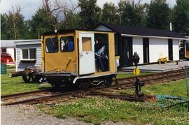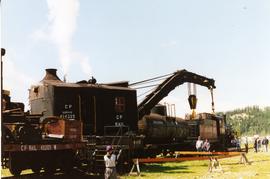
2013.6.36.1.132.02
·
Item
·
[June 1996]
Part of David Davies Railway Collection
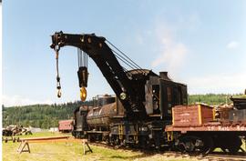
Photograph depicts a crane at the Prince George Railway Museum.