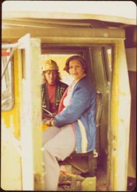
2000.1.1.3.13.39
·
Item
·
1978
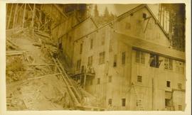
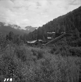
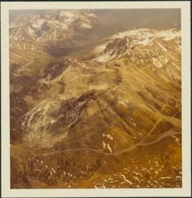
Part of Cassiar Asbestos Corporation Ltd. fonds
Photograph depicts view of mine, mountain range in background.