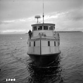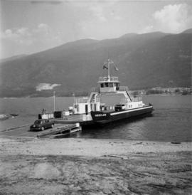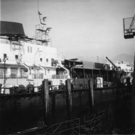
2013.6.36.1.071.02
·
Item
·
[July 1966]
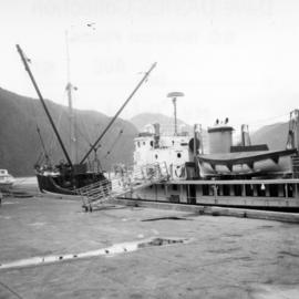
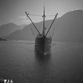
Part of David Davies Railway Collection
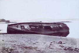
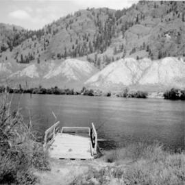
Photograph depicts the Monte Creek reaction ferry that was closed on August 6, 1972.