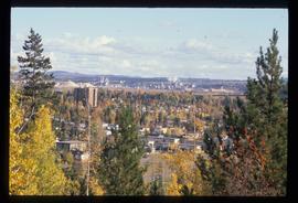
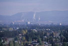
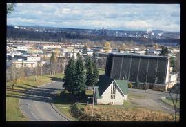
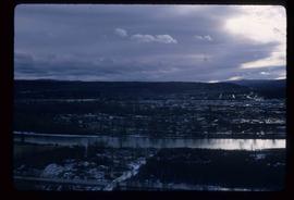
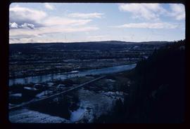
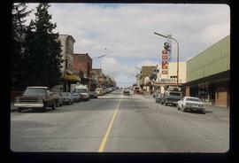
Image depicts Prince George, possibly with the Northwood Pulpmill in the background.
Image depicts Prince George, possibly with the Northwood Pulpmill in the background.
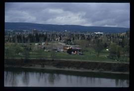
Image depicts a view of Prince George from an uncertain location.
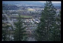
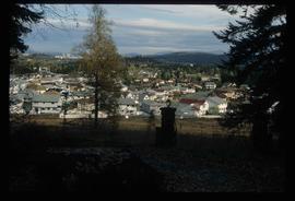
Image depicts a view of Prince George.
Image depicts a view of Prince George.
Image depicts a view of Prince George.
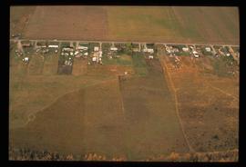
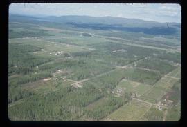
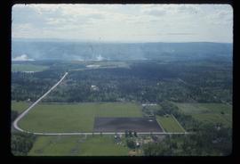
Image depicts an aerial view of what is possibly an outlying area of Prince George, B.C.
Image depicts a view of Prince George.
Image depicts Prince George, possibly with the Northwood Pulpmill in the background.
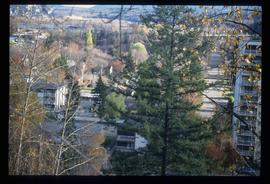
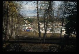
Image depicts Prince George with numerous trees obscuring most of the view.
Image depicts Prince George.
Image depicts a view of Prince George.
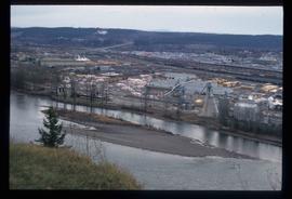
Image depicts a sawmill in Prince George, B.C.
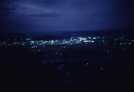
Image depicts Prince George at night from the cutbanks.
Photograph landscape shot of Prince George
Image depicts a clearing in Prince George, B.C.
File consists of notes, clippings, and reproductions relating to a downtown walking tour conducted by Sedgwick for the British Columbia Historical Federation 2003 conference. Also includes photographs depicting participants of the BC Historical Federation Conference on a downtown walking tour in Prince George (2003).
File consists of notes and reproductions relating to floods in Prince George. Also includes photographs depicting a sign describing the importance of floods in Prince George.
Image depicts Prince George from the view of Peden Hill.
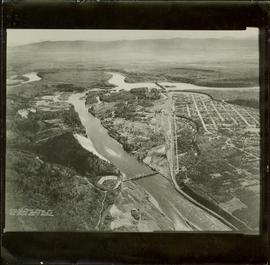
Item is a photograph of Prince George taken from the air, looking east with the Cameron Street Bridge in the foreground.
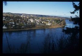
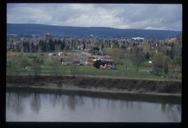
Image depicts a view of Prince George from the cutbanks.
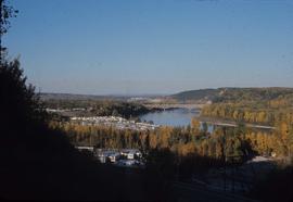
Image depicts a view of Prince George from the cutbanks on the Nechako river.
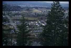
Image depicts a Prince George residential area from the viewpoint of the Ginter Property.
Image depicts a Prince George residential area from the viewpoint of the Ginter Property.
Collection contains photographs depicting community life in Prince George, B.C. Images depict holiday events, sports teams, government buildings, businesses (hotels, banks, retail, newspaper office), riverboats, railroad construction, fishing, a cemetery, street scenes, aerials, and landscapes. Also includes photos taken outside of the Prince George vicinity including Prairie Creek, Thomas Creek and Barkerville, B.C.
Image depicts Prince George near the Airport Road.
File contains slides depicting maps for land use in Prince George.
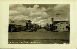
Postcard image depicts streetview looking west along 3rd Ave in Prince George, B.C. Storefronts and period automobiles are visible. Handwritten annotation on photographic negative, now visible along bottom of print image reads: "3rd Ave, Prince George B.C. Looking West. HND 41".
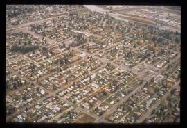
Image depicts an aerial view of a Prince George residential section between Highway 97, Carney Street and 10th Ave looking north. Map coordinates 53°54'54.0"N 122°46'00.4"W
Image depicts Prince George Sawmill taken from across the Nechako River looking southwest. Map coordinates 53°56'00.0"N 122°44'29.7"W
Image depicts Prince George Sawmill taken from across the Nechako River looking southwest. Map coordinates 53°56'00.0"N 122°44'29.7"W
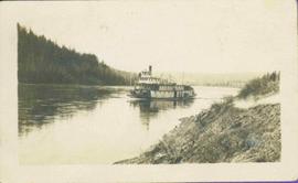
Stern wheeler in river. Handwritten annotation in pencil on verso reads: “Prince George to Tete Jaune” Hand written message in ink on verso is addressed to “Mademoiselle Elisabeth Joliet, Terrguy – Les Dijore Cote a Or France”
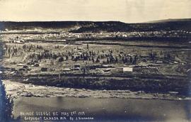
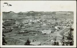
Photograph depicts the major buildings and streets of the town. Sloped cutbank visible across the Nechako River in background. It is believed that this photograph was taken from Connaught Hill. Handwritten annotation on verso of photograph reads: "PRINCE GEORGE, B.C."
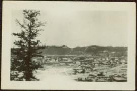
Sloped banks visible across the Nechako River in background. It is believed that this photograph was taken from Connaught Hill. Tree silhouetted in right foreground.
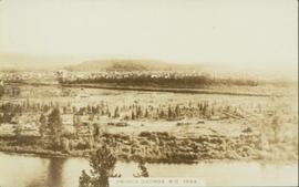
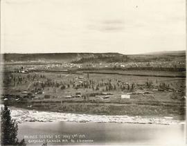
Wide angle photograph of a forested area with Prince George in the distance. Printed annotation on recto reads: "Prince George, B.C. 1924."
File contains slides depicting places in and around Prince Rupert, B.C.
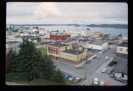
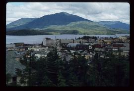
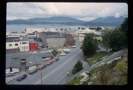
Image depicts a view of Prince Rupert, B.C.
Image depicts a view of Prince Rupert, B.C.
Image depicts a view of Prince Rupert, B.C.
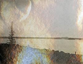
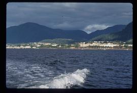
Photograph depicts silhouette of Prince Rupert BC buildings and the view looking beyond to the water.
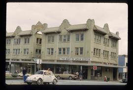
Image depicts the Bank of Nova Scotia located on "Besner Block" in Prince Rupert, B.C.
Image depicts the City Hall of Prince Rupert, B.C.
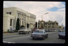
Image depicts a view of the downtown core of Prince Rupert, B.C.
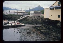
Image depicts numerous buildings and a small dock somewhere in Prince Rupert, B.C. One of the buildings is labelled "Fishermen's Supply."
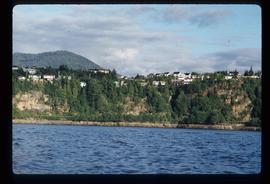
Image depicts numerous houses on the cliff-sides in Prince Rupert, B.C.
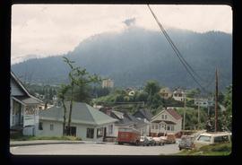
Image depicts numerous houses in Prince Rupert, B.C.
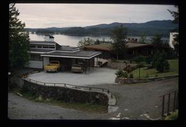
Image depicts several houses in Prince Rupert, B.C.
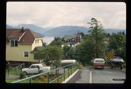
Image depicts numerous houses in Prince Rupert, B.C.
Image depicts the main street of Prince Rupert, B.C.
