2011.12.09
·
Item
·
[ca. September 1950- June 1951]
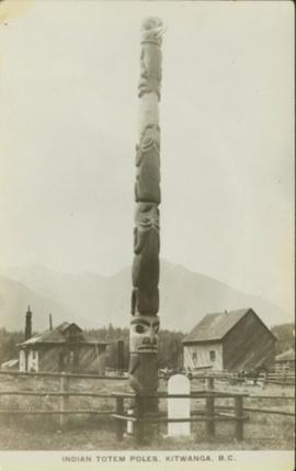
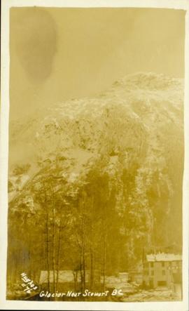
Part of Giscome, BC Historical Photograph collection
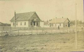
Street view featuring a dirt road leading directly to Giscome School, a three room institution. On the right the steeple of the Catholic church is visible, beside which was Neff’s (sp?) corner store. Handwritten annotation in pen on verso reads: “Looking up our street. The school is at the end.”