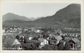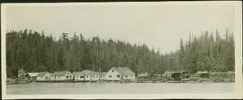
2011.13.21
·
Item
·
ca.1910-ca.1930
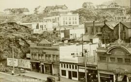
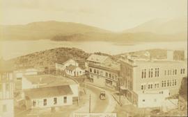
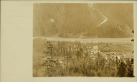
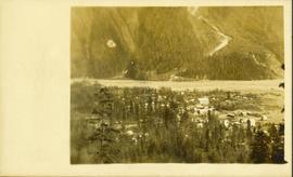
Part of Parker photograph collection
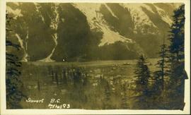
Photograph of Stewart BC taken from a distance. Trees in the foreground slightly obscure the village, and a large mountain is visible in the background. Printed annotation on recto reads: "Stewart B.C. Hughes 93."