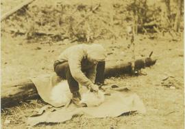
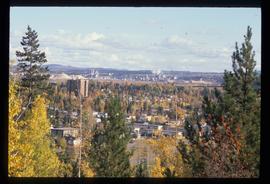
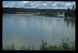
Item is a photograph of a copy print that has been reproduced as a slide, resulting in low photographic quality. Location of original photograph unknown.
File contains photographs of The Pas Lumber Company Ltd. Includes other northern BC forestry industry images, including Number 5 Timber Ltd. CP625 Block 101, bridge construction, and heavy machinery. Also includes a graphic postcard of Prince George circa 1970s.
Consists of photographs depicting the Grand Trunk Pacific Railway, the Pacific Great Eastern Railway, the British Columbia Railway, the Canadian Pacific Railway, and the Canadian National Railway. Also includes photographs of various forestry-related scenes.
The images consists primarily of 130+ photographs taken by or belonging to Reverend R.W. Large, MD which depict communities on the Northwest Coast between approximately 1898 and 1920 including Bella Bella, Rivers Inlet, and Port Simpson, including native villages in which Reverend Large worked. Images show scenes of native fishing, canneries, mission hospitals, churches, girls schools, portraits of native families, and Northwest Coast totems. Other images include 25+ photographs and postcards from the Large family depicting ships and boats on the North Coast.
Series consists of one black and white photograph of S. B. Trick Lumber Company Sawmill.
Series consists of photographs created or accumulated by the Aleza Lake Research Forest Society.
File consists of 47 photographs of cleared forest with some regrowth. File includes images from Prince George West - Bill's Creek 104:814: 85/87 Unit 'A'; Red Rock seed orchard July 22, 1986 Permit no. 400-360: 86/87; Mackenzie Forsar Project 86-9-9 adjacent to velpar treatment; 147-005 84/86 TFL 30 CP 5 #26; 147-008 85/87 TFL 30 CP.5 Unit 1; Northwood TFL 30 CP 12E Unit 15, Pesticide use permit #147-012:85/87.
Series consists of forestry photographs. Series includes photographs taken at experimental plots.
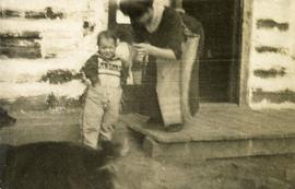
Photograph depicts a woman standing on a step outside a building this woman is tending to a toddler. The building is constructed of chinked logs.
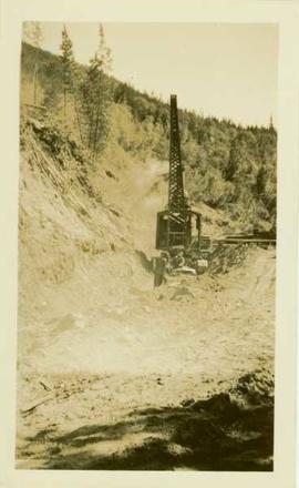
Photograph depicts three(?) men standing in front of a pile driver at work along a dirt path.
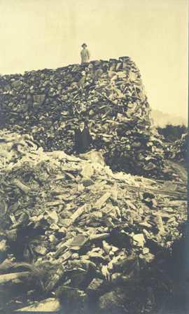
Photograph depicts a two men standing on piles of whale bones at a whaling station. Annotation on verso of photograph states: "Pile of whale bones, Whaling station, Vancouver Is."
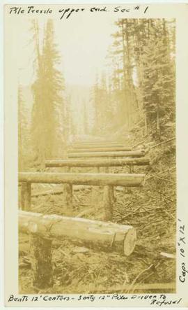
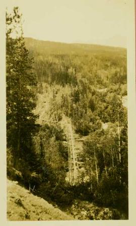
Photograph depicts a wooden pile trestle that leads through a wooded landscape. Annotation on recto of photograph reads: "Pile tressle upper end. Sec.#1. Bents 12" centers - 3 only 12" piled driven to refusal; caps 10" x 12" "
Photograph depicts a landscape perspective of Germansen Placers including the pipeline.
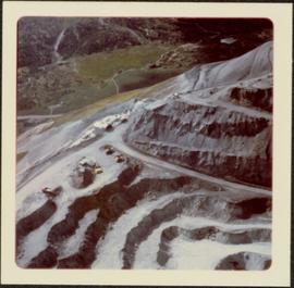
Photograph depicts a portion of the pit in foreground at the Cassiar mine. Crushing plant visible in centre below base of West peak. Footwall road in midground, mine valley in background. Building near trucks at top of pit was called the "shifter shack," where crews were relieved or dropped off for work.
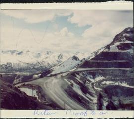
Photograph depicts view of pit mine, taken facing east. Town of Cassiar can be seen in distance at foot of south mountain range. Photograph was taken from the air, portion of plane visible in top left of image.
Photograph depicts a portion of the Cassiar pit in right foreground. Crushing plant visible to left of pit, West peak visible in right background. Mountain range can be seen in distance.
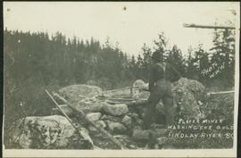
Photograph depicts an unidentified man mining in rocky area, trees and hills in background. Handwritten annotations on verso of photograph: "PLACER MINER WSHING FOR GOLD FINDLAY RIVER BC", "PHOTO WWW".
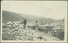
Photograph depicts two miners standing on either side of wooden sluicing trough in rocky area. Man on left pans for gold. Hills in background. Handwritten annotations on verso of photograph: "PLACER MINERS AT WORK INGINECA RIVER BC", "PHOTO WWW".
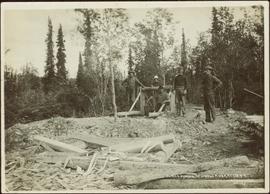
Five unidentified miners pose for a photo. Logs and wood scraps in foreground, forest in background.
Printed annotation on recto of photograph: "PLACER MINING, ATLINTOD RIVER, ATLIN, B.C. A.C. HIRSHFELD NO. 753."
File consists of information on plantations 5001 and 5002. File includes data tables, photographs, and some maps of their locations.
Photograph depicts plateau below summit between John Brown and Kitseucla creeks. Survey of 55th parallel.
Annotation on slide: "Plot 3 uncut control plot, Summit Lake".
Annotation on slide: "Plot 3, Summit".
File consists of photocopied plot layouts from an unknown original source and 39 photographs taken during experiments.
File consists of several maps indicating the locations of plots and 3 detailed maps of specific plots. File also includes photographs of cleared forests and a "P.G. District Demonstration Plots: Establishment Report".
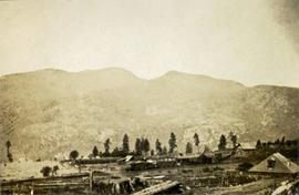
Photograph depicts a few scattered buildings and railway siding in the foreground, sparsely forested mountain in the background.
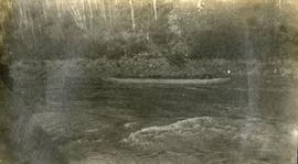
Photograph depicts two persons holding long poles, standing on a canoe on the Nechako river. The water vessel appears to be very near a falls. Image is out of focus.
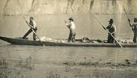
Photograph depicts four men standing on a canoe, loaded with supplies. Calm river water in the background, bluffs in the background.
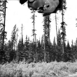
No caption provided with photograph negative. Appears similar to 2007.1.30.2.011, which has the following caption: "Poor quality Spruce left after diameter cutting. Note insect killed trees and leaning tree. Sparse stocking. Very poor increment. Devils Club site. Silty clay. No post logging regeneration. Continous understory of alder and willow. West Branch, F.E.S. Aleza Lake."
Caption describing photograph: "Poor quality Spruce left after diameter cutting. Note insect killed trees and leaning tree. Sparse stocking. Very poor increment. Devils Club site. Silty clay. No post logging regeneration. Continous understory of alder and willow. West Branch, F.E.S. Aleza Lake."
Annotation on photograph verso: "South of plot 27, N of 18, 20. 15/1/92. Post-logging. Summit Lake Selection Trial"
Annotation on photograph verso: "View south of unit 27 Post-logging. 15/1/92. Summit Lake Selection Trial"
Annotation on photograph verso: "South of plots 27, 21. 15/1/92. (Post-logging). Summit Lake Selection Trial"
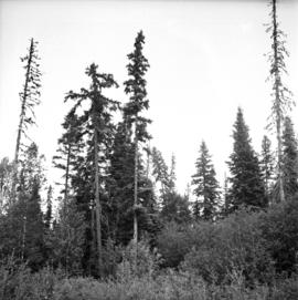
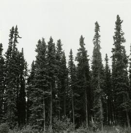
Caption describing photograph: "Potentially commercial Black Spruce stand. Fully developed peat (3-8') over impervious clay. Ledum B. Glandulosa. Mile 3 Hart Highway. Ht 55', 5-10" DBH. Age 85 years. Frames 1-5"
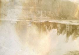
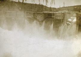
Photograph depicts a power dam near Cascade, BC.
Photograph depicts a power dam near Cascade, BC.
File contains handwritten notes, original diagrams, charts, studies, and black and white photos relating to Plot 108.
File contains handwritten cross section book, original studies with handwritten measurement charts and black and white photos, loose pages of original correspondence, handwritten diagrams and measurement charts, loose handwritten tally sheets, black and white photographs, hand coloured plot diagrams, photocopies of aerial photographs, and original correspondence for Plot 160.
Annotation on photograph verso: "View from Jtn of A Road and Main Road to NE. Pre-logging. 15/1/92. Summit Lake Selection Trial"
Photograph depicts Prentiss Gray sitting on a log skinning his trophy mountain goat.
File consists of 23 posters of two sizes about the McGregor Model Forest Association and the Model Forest Network. Many of the posters are laminated and have Velcro attachments on the back for use during presentations or conferences. The information presented is varied, but includes vision statements, maps, Phase III themes and activities, recent successes, programs, information about various projects, maps illustrating model forests across Canada, phase and project objectives, information on the TFL-30 project, and information about the computer program developed by the McGregor Model Forest Association. Some simple posters advertising both the MMFA and the Canadian Model Forest Network are featured.
Image depicts Prince George, possibly with the Northwood Pulpmill in the background.
Image depicts Prince George, possibly with the Northwood Pulpmill in the background.
Image depicts Prince George, possibly with the Northwood Pulpmill in the background.
File consists of clippings, notes, reproductions, and letters relating to the Prince George Experimental Farm. Includes "District 'C' Farmer's Institute" letter correspondence between the director of development services and Marlene Schwartz (19 July 1999) and "RE: Century Farms Project" letter from Kent Sedgwick to the Ministry of Agriculture, Fisheries & Food (13 Sept. 1994). Also includes photographs depicting the experimental farm in Prince George, including the house on the property, a barn with a rainbow painted on the front, and the barn at multiple angles (Aug. 2001).
Image depicts the Prince George Sawmill from the Northwood Bridge.
Image depicts Prince George Sawmill taken from across the Nechako River looking southwest. Map coordinates 53°56'00.0"N 122°44'29.7"W
