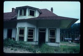
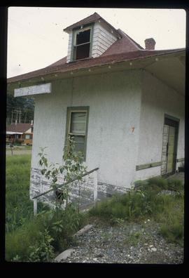
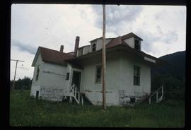
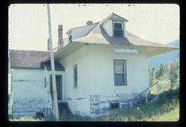
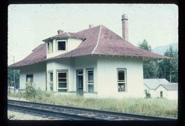
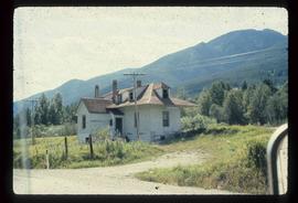
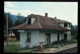
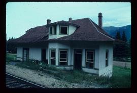
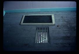
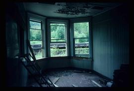
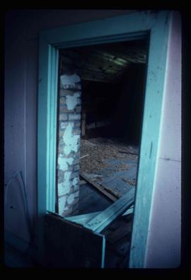
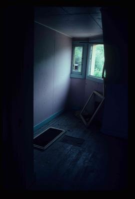
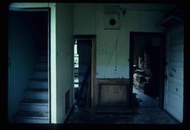
2012.13.1.5.09
·
Item
·
12 Oct. 1989
Part of J. Kent Sedgwick fonds
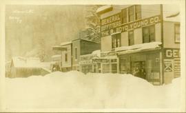
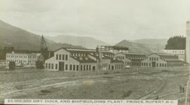
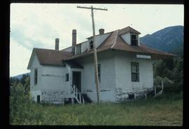
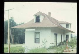
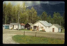
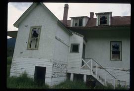
Image depicts downtown Prince George, B.C.