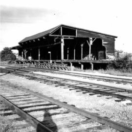
2013.6.36.1.022.18
·
Item
·
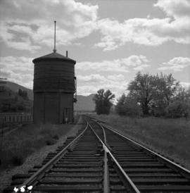
[July 1979]1979
Part of David Davies Railway Collection
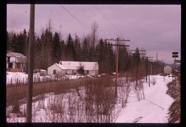
Photograph depicts the disused CPR Kettle Valley Railway line in Penticton. The trackage leads from the lakefront to the main yards. All the track was removed by July 1981. The view is looking northeast to the lake and the Incola Hotel.