2000.19.2.74
·
Item
·
29 Aug. 1927-26 Sept. 1927
Part of Prentiss Gray Collection
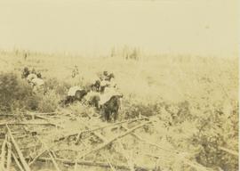
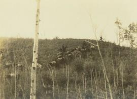
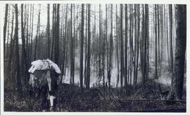
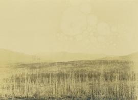
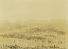
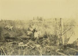
Photograph depicts a pack horse train walking through an unidentified forest fire site.