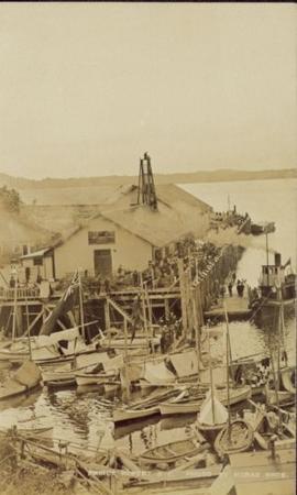
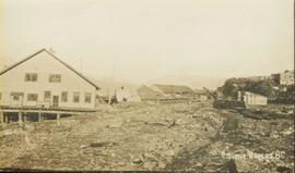
Large crowd is gathered around main building in a harbor. Many boats visible in foreground. Smoke from tugboat partially obscures the scene. Annotation on recto reads: "Prince Rupert BC. Photo by MCrae Bros."
File contains images depicting various landslides near Cassiar BC. Set of 20 photographs (with 9 corresponding negative strips) date stamped June 1987 depict landslide near creek and dirt road with a Cassiar company truck. Set of 5 black and white photographs found in envelope marked "D. Stewart" are likely from 1988-1989 and depict a rockslide on the south western side of the pit mine, near the tramline. Album entitled “6200 DUMP SLIDE / SPRING, 1979” contains 34 photographs depicting aerial shots of a massive rockslide on the eastern slope of McDame Mountain, originating from the mine waste dump. Several images from album show greenish water pooling in the toe of the slide.
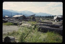
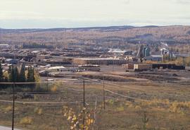
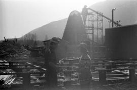
Image depicts what appears to be the old, abandoned mill in Lamming Mills, B.C.
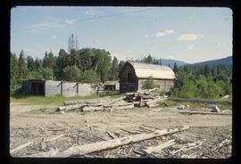
Image depicts what appears to be a part of the old, abandoned mill in Lamming Mills, B.C.
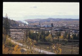
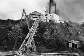
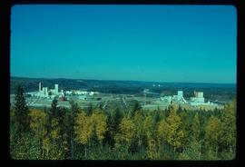
Image depicts the Lakeland Sawmill in Prince George, B.C, identified by the beehive burners; the one with white smoke belonged to Pas Lumber Co. which was bought out by Lakeland in 1987.
Image depicts the Lakeland Sawmill in Prince George, B.C.
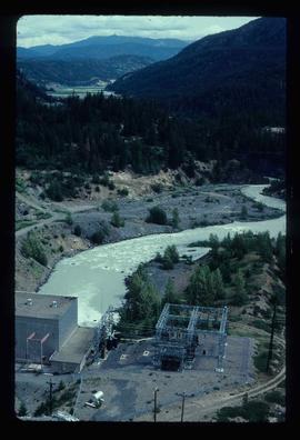
Image depicts the Lajoie hydroelectric generating station at the Lajoie Dam on the Bridge River (view of powerhouse and tailrace from top of dam).
This collection is of Kutcho Creek Camp that was set up by a crew led by Cassiar's Chief Geologist Bill Plumb in 1966.
There are six photographs showing the temporary buildings, paths and barrels. These photos were taken from a high hill looking down at the camp. Two photographs depicts the valley of Kutcho Creek area, and the exploration camp is in the distance at foot of hill. One photograph depicts valley of Kutcho Creek area with a body of water in foreground, and mountains in background.
Another photograph depicts man believed to be Matt Bell standing in Kutcho Creek exploration camp. There are tents on either side, a wood structure in background and a sign on wood post: "PLUMB BLVD."
One photograph believed to have been taken near Kutcho Creek, during the initial exploration trip led by Cassiar's Chief Geologist Bill Plumb. Bill stands to left of man believed to be Matt Bell in right foreground. Bulldozer works along talus slope in left foreground.
Another photograph of this initial trip shows a bulldozer working along talus slope in centre of image.
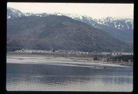
Image depicts what is possibly the Alcan smelter in Kitimat, B.C.
Photograph depicts ore haul truck at dump in mine, driver visible, mountain range in background. Handwritten annotation on recto of photograph: "Kenworth - Model 802 dumping stripping waste at 6565 Elevation", on verso: "1961".
Typed annotation on caption adhered to recto of photograph: "Presentation of Open Pit Mines and Quarries Annual Safety Award by W.K. Kiernan, Minister of Mines, British Columbia to J.G. Berry, General Superintendent, Cassiar Asbestos Corporation. Cassiar Asbestos Corporation won the trophy for the year 1962 with a compensable accident frequency of 7.19." Photograph depicts J.G. Berry shaking hands with Mr. Kiernan as he accepts a plaque from the "DEPARTMENT OF MINES AND PETROLEUM RESOURCES." A man and woman are partially visible at table behind them. Curtains on wall in background.
Collection consists of 140 photographs pertaining to the life and pursuits of James Joseph Claxton over the course of sixty years. Subject areas identified within this collection include: quartz and placer mining in the Cariboo; Kingcome Village; the Royal Irish Contabulary; Roderick's Jewelers, New Westminster; the "M.S. Columbia III"; Kwakiutl petrographs in Fort Rupert; totem poles at Alert Bay; and the Salmon Arm Boy Scouts of Canada group.
Claxton, James JosephPhotograph depicts a log jack-ladder up to Nash Sawmill, co-owned by Cornel Neronovitch and Fred Tesluk. This sawmill was steam powered and burnt down in 1941. The sawmill was located on a back-channel of the Fraser River.
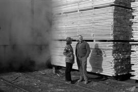
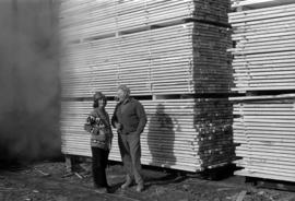
Photograph depicts Iona Campagnolo wearing a hard hat and speaking with an unknown man in front of a lumber pile at a sawmill owned by Rim Forest Products in Hazelton.
Photograph depicts Iona Campagnolo wearing a hard hat and speaking with an unknown man in front of a lumber pile at a sawmill owned by Rim Forest Products in Hazelton.
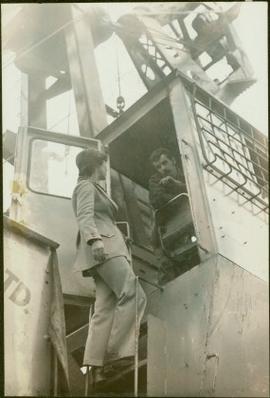
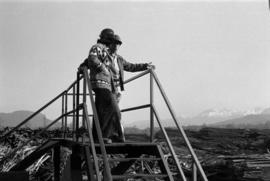
Campagnolo stands on ladder of machine.
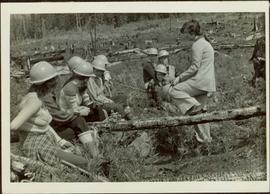
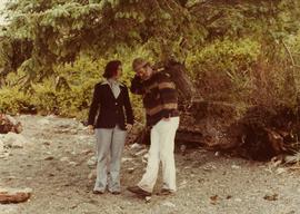
Iona leans against a fallen tree and rests her own hardhat on her knee.
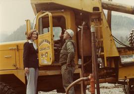
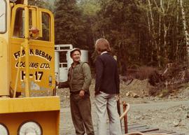
Photograph depicts Iona Campagnolo talking with an unidentified employee of Frank Beban Logging while standing beside a large piece of heavy machinery.
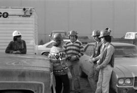
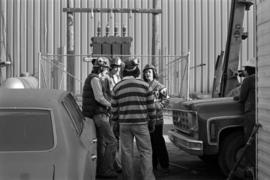
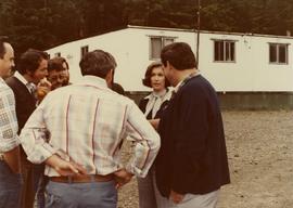
Photograph depicts Iona Campagnolo talking with four unknown men wearing hardhats and standing by vehicles at a sawmill owned by Rim Forest Products in Hazelton.
Photograph depicts Iona Campagnolo talking with four unknown men wearing hardhats and standing by vehicles at a sawmill owned by Rim Forest Products in Hazelton.
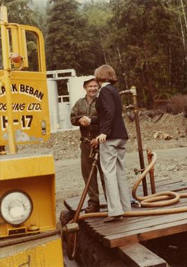
Photograph depicts Iona Campagnolo talking with two unidentified logging truck drivers at the Frank Beban Logging camp in Athili Gwaii (Lyell Island) during a 1978 Skeena riding tour.
Photograph depicts Iona Campagnolo talking with a logging truck driver of Frank Beban Logging at Athili Gwaii (Lyell Island) during a 1978 Skeena riding tour.
Photograph depicts Iona Campagnolo talking with an unidentified employee of Frank Beban Logging standing beside a large piece of heavy machinery.
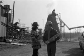
Photograph depicts Iona Campagnolo speaking with an unknown man wearing a hard hat and holding a package at a sawmill owned by Rim Forest Products in Hazelton.
Photograph depicts Iona Campagnolo shaking hands with an unidentified employee of Frank Beban Logging while standing beside a large piece of heavy machinery.
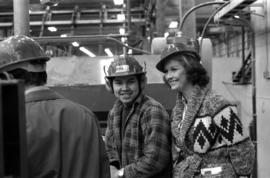
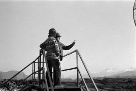
A black and white photographic print of Iona Campagnolo in the Cassiar mill wearing a ‘VISITOR’ hard hat and overalls. Two unidentified workers provide a tour of the mill and show sample of the asbestos fibres.
Photograph depicts Iona Campagnolo handing a piece of paper to a man in a hard hat at Rim Forest Products in Hazelton.
Photograph depicts Iona Campagnolo talking with a group of logging truck drivers at the Frank Beban Logging camp in Athili Gwaii (Lyell Island) during a 1978 Skeena riding tour.
Photograph depicts Iona Campagnolo and a man wearing a hard hat and ear protection at a sawmill owned by Rim Forest Products in Hazelton.
Photograph depicts Iona Campagnolo and an unknown man looking over the sawmill owned by Rim Forest Products in Hazelton.
Photograph depicts Iona Campagnolo and an unknown man looking over the sawmill owned by Rim Forest Products in Hazelton.
Photograph depicts ore haul truck at dump in mine, mountain range in background. Photo also features driver and a second unidentified man standing in front of truck. Handwritten annotation on recto of photograph: "Int. Harvester Payhauler Model 95 dumping stripping waste at 6565 Elevation", on verso: "1961".
Photograph depicts ore haul truck on road in mine area, mountain wall in background. Handwritten annotation on recto of photograph: "Int. Harvester Payhauler Model 95", on verso: "1961".
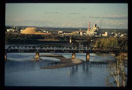
Image depicts two mills; the Intercontinental Pulp Mill is on the right in the foreground, and the Prince George Pulp and Paper Mill is on the left in the background. The picture is taken from the South, possibly off Yellowhead Bridge in Prince George, B.C.
Image depicts two mills; the Intercontinental Pulpmill is on the left side of the tracks in the image and the Prince George Pulp and Paper Mill is located on the right side in Prince George, B.C. The Northwood Pulp Mill can be seen in the distance.
File contains 4 sheets of microfiche depicting a parts and service manual, wiring diagrams and schematics for a GAF Print Vac 190 printing machine that was used in the Engineering Department.
Two large black and white prints of infrared dryers annotated on recto "Thompson Pipe and Steel Company Bulk Material Dryers Van Dorn Iron Works Company" and bearing on verso the ink stamp of a photographer from Cleveland, Ohio.
Several large buildings on a rocky shore. Wood piles and a crane are visible in the background. Annotation on recto reads: "Prince Rupert BC"
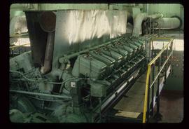
Image depicts a piece of industrial machinery, likely for either mining or forestry, in an uncertain location near McLeod Lake, B.C.
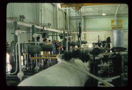
Image depicts industrial machinery in an uncertain location near McLeod Lake, B.C.
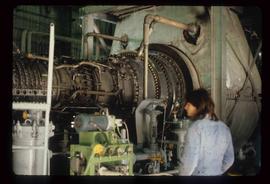
Image depicts a piece of industrial machinery in an uncertain location near McLeod Lake, B.C.
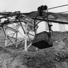
Photograph depicts bucket hanging from tramline in foreground. Support tower stands in midground in front of station building. Another building can be seen at top of mountain in background. Handwritten annotation on recto of photograph: "INCOMING BUCKET #1 STATION". Photograph was glued to cardboard backing with the annotation: "1962".
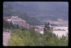
File contains slides depicting Premier Mine in Hyder, Alaska.
Image depicts the Britannia Mine, which closed in 1974 and is now a museum. "Anaconda" was the last operating owner.
File contains images depicting room by room view of a house in Cassiar identified as house 288. Handwritten annotation on verso of photographs: "288 June-9-1992". Photographs originally found in file labeled "TOWN ADMINISTRATION Small Business 1981"; it is likely that these images form part of the process documentation for a small business license.
File contains photographs of a report completed in 1980 depicting the ambulance garage, as well as the interior and exterior of the hospital building in Cassiar, B.C. Each room is captured, as well as medical equipment such as the X-ray, audiometer, lung function apparatus, and autoclave. A doctor, two nurses, and several patients are shown. Accompanying report contains a description of the medical facilities in Cassiar including a detailed budget, description of staffing and utility requirements, and a floor plan of the facilities.
In addition there are two albums of Cassiar Hospital and Pharmacy Staff engaging in social functions. These photographs appear to be informal and depict staff parties, people at work and some of the patients, including their thank you notes to the Cassiar Hospital staff.
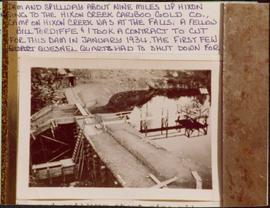
Photograph depicts a dam and spillway obstructing a creek. Photo is adhered to paper backing, upon which handwritten annotation on recto reads: “This is the dam and spillway about nine miles up Hixon Creek belonging to the Hixon Creek Cariboo Gold Co., whose main camp on Hixon Creek was at the falls. A fellow Sterling or Bill Tordiffe & I took a contract to cut the logs for this dam in January 1934. The first few winters Quart [sic] Quesnel Quartz had to shut down for snow”
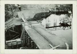
Photograph depicts a dam and wooden spillway along a creek. Annotation on verso reads: "This is the dam and spillway about 9 miles up Hixon Creek belonging to the Hixon Creek Cariboo Gold Co. Original handwritten annotations on verso of photograph are signed by Tom Marsh and covered by mounting the photo on paper. Photograph is taped to paper. Typed annotation on recto of paper reads: “This is the dam and spillway about nine miles up Hixon Creek belonging to the Hixon Creek Cariboo Gold Co., whose main camp on Hixon Creek was at the falls. A fellow Sterling or (Bill) Tordiffe & I took a contract to cut the logs for this dam in January 1934. The first few winters Quesnel Quartz had to shut down for snow."
Contains photographs generally depicting landscapes, water scenes, and views of towns on British Columbia's north coast. Includes images featuring sternwheelers and other boats, canneries, fisheries, and individuals. Locations depicted include Port Essington and Port Simpson (Lax Kw’alaams) in BC, Fort Wrangell in Alaska, and other unknown towns. Includes one photograph of a man named Max Lohbrunner, and many other images depicting unidentified individuals.
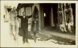
Photograph depicts H.F. Glassey wearing a suit and tie, holding up a wolf pelt in both hands. House stands behind Glassey, pelts hanging from eaves in front of porch. These pelts came from the Teslin Lake area (this region spans Northern British Columbia and the Yukon Territory). Anglican Church partially visible in left background. Typed annotation on recto of photograph: "Come up and do some hunting." Typed caption below this photograph: "Atlin." See also items 2009.5.2.68 & 2009.5.2.69.
