2013.6.36.1.129.04
·
Item
·
Sept. 2000
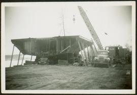
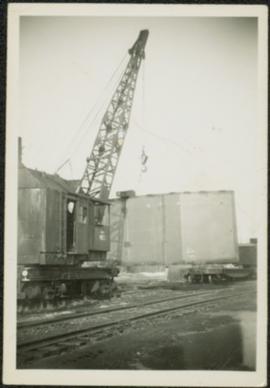
Part of David Davies Railway Collection
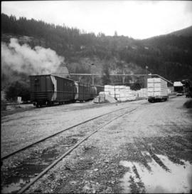
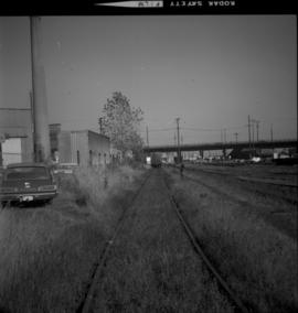
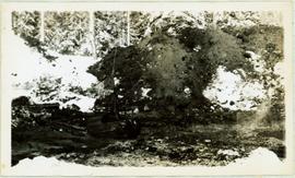
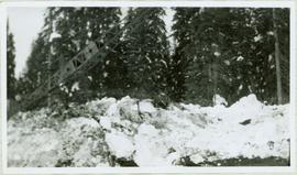
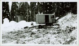
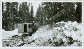
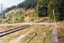
Photograph taken looking north, with a spur in the foreground. It was used by ore mixed freight daily. It was believed that at the bottom of the grade was a junction with a GNR branch that ran from the US border south of Creston to Kootenay Lake (built in 1904, then was hardly used, finally ceased in 1910).