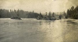
Photograph depicts the rough waters and rocks at Fort George Canyon.
Slide depicts a man operating heavy equipment in a forest, likely at the Aleza Lake Experiment Station.
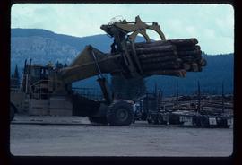
Image depicts a piece of heavy machinery lifting numerous logs off the back of a logging truck. It is likely located in Prince George, B.C.
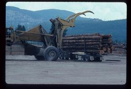
Image depicts a piece of heavy machinery lifting numerous logs off the back of a logging truck. It is likely located in Prince George, B.C.
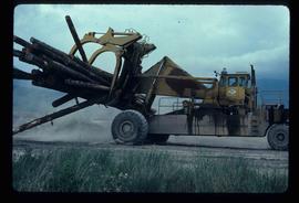
Image depicts a piece of heavy machinery lifting numerous logs. It is likely located in Prince George, B.C.
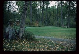
Image depicts a section of the Heritage Trail in Cottonwood Park.
File contains slides depicting the opening of the Cottonwood Park section of the Heritage River Trails in Prince George, B.C.
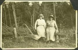
The women are seated on old farm plow in forest clearing, both wearing hats. Mrs. Dixon is the wife of Hugh's employer Mr. Dixon, and is not related to the Taylors. Handwritten annotation on recto of photograph: "Mother & Mrs. Dixon - 1921 -"
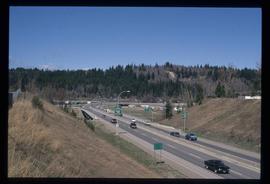
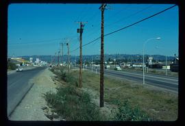
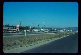
Image depicts a highway, possibly Highway 97, in Prince George, B.C.
Image depicts a view along Highway 97 in Prince George, B.C.
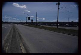
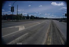
Image depicts Highway 97 at 15th Ave. looking north. Map coordinates 53°54'36.0"N 122°46'55.5"W
Image depicts Highway 97 at 15th Ave. looking north. Map coordinates 53°54'42.1"N 122°46'53.1"W
Image depicts a section of Highway 97 looking south. Map coordinates 53°55'10.3"N 122°46'54.9"W
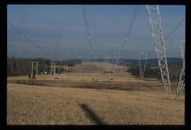
Image depicts the power lines in the Hixon area south of Prince Georg, B.C.
Photograph depicts the Hong Kong Inn and restaurant at 1210 3rd Avenue. Annotation on verso: "Dredaute Bldg c. 1948".
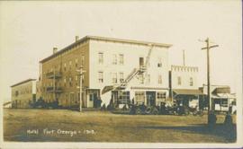
Photograph depicts Hotel Fort George with people, cars and power pole in foreground. Handwritten annotation on verso reads: “Hotel Fort George - 1913”.
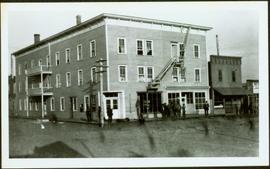
Photograph depicts street corner view of Hotel Fort George with people and utility pole in foreground.
Handwritten annotation on verso “Hotel Fort George Central Fort George 1913".
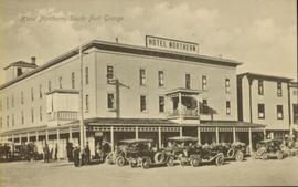
Street view of many vehicles parked in front of the Hotel Northern. Printed annotation on recto reads: "Hotel Northern, South Fort George."
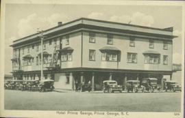
Photograph of Prince George Hotel with several early model cars and a few people. Printed annotation on recto reads: “Hotel Prince George, Prince George, B. C.”
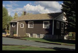
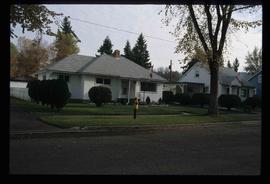
Image depicts a house, most likely on Thompson Drive in Prince George, B.C.
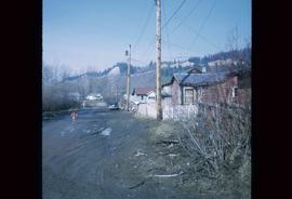
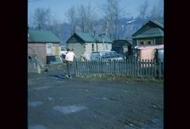
Image depicts numerous houses, and an unknown child standing in a street at Island Cache.
Image depicts a few houses in Island Cache.
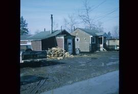
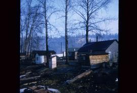
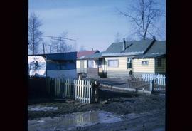
Image depicts a number of small houses at Island Cache.
Image depicts a few houses in Island Cache. There are two unknown individuals present.
Image depicts a few houses and a dog on a porch at Island Cache.
Image depicts a number of small houses at Island Cache.
Image depicts houses on Dogwood Street in the Millar Addition neighbourhood of Prince George, B.C. On the left is 1610 Dogwood Street and 1630 Dogwood Street is the middle house; 1650 Dogwood Street is the blue house on the right.
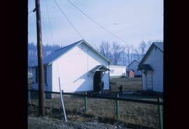
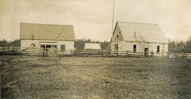
Photograph depicts a large white building surrounded by a fence.
Index print contains 25 photographs of a yard, a blue house and 5 portraits. The photographs were taken by Kent Sedgwick.
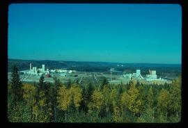
Image depicts two mills; the Intercontinental Pulpmill is on the left side of the tracks in the image and the Prince George Pulp and Paper Mill is located on the right side in Prince George, B.C. The Northwood Pulp Mill can be seen in the distance.
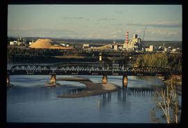
Image depicts two mills; the Intercontinental Pulp Mill is on the right in the foreground, and the Prince George Pulp and Paper Mill is on the left in the background. The picture is taken from the South, possibly off Yellowhead Bridge in Prince George, B.C.
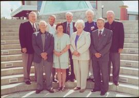
File consists of photographs of the Interim Governing Council in 2000.
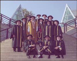
Photograph taken in front of the 'icebergs' at the University of Northern British Columbia in Prince George, B.C.
Label affixed to verso reads: “Interim Governing Council 2000: Back Row: Tom Steadman, Hans Wagner, Charlie Lasser, Murray Sadler, Bruce Strachan, Front Row: John Chapman, Margaret Warcup (Dediluke), Anne Martin, Walter Harwood”.
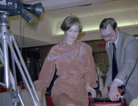
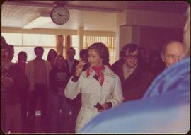
Photograph depicts Iona Campagnolo being directed to her seat by a man with a cigarette at a Northern BC Winter Games event in Prince George.
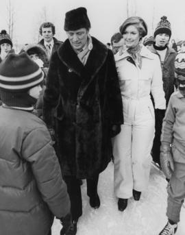
Photograph depicts Iona Campagnolo standing on ice with Pierre Trudeau at a children's speed skating event during the 1978 Northern BC winter games. Several unidentified children and adults surround them.
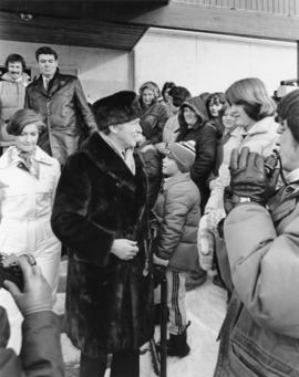
Photograph depicts Pierre Trudeau talking with a crowd of children and adults at a children's speed skating event during the 1978 Northern BC Winter Games. Iona Campagnolo stands behind Pierre Trudeau, looking downward. Two photographers are in the foreground.
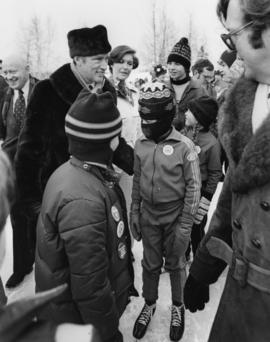
Photograph depicts Pierre Trudeau talking with a four unidentified children at a children's speed skating event during the 1978 Northern BC Winter Games. Iona Campagnolo stands behind Pierre Trudeau. An unidentified man is in the foreground. Several unidentified adults are in the background.
Photograph taken in front of the 'icebergs' at the University of Northern British Columbia in Prince George, B.C. Campagnolo stands in middle row, third from right.
Card accompanying photograph reads: “UNBC’s 10th Anniversary, 08/17/04, With the compliments of Charles J. Jago, President and Vice-Chancellor”.
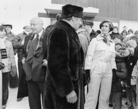
Photograph depicts Iona Campagnolo, Pierre Trudeau and Ron Basford talk with an unidentified crowd of children and adults at a children's speed skating event during the 1978 Northern BC Winter Games.
File contains slides depicting Island Cache on Cottonwood Island in Prince George, B.C.
Collection consists of material resulting from Dr. Mike Evan's Island Cache Recovery Project Collection. Includes oral history interviews of former Island Cache (Cottonwood Island) residents on recording media (cassette and VHS) as well as transcripts of the oral histories. Also includes administrative records for the project and photocopies of background research material used for the project, such as Prince George city records, newspaper clippings, photographs, and correspondence.
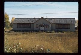
Evans, Michael JohnImage depicts an old, boarded up school in Island Cache, B.C.
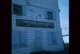
Image depicts a grocery store at Island Cache.
This fonds consists of material created and collected by Kent Sedgwick, author, professor, Prince George urban planner, and prominent local historian. This body of records documents Sedgwick’s research interests in the history and geography of the Central Interior of British Columbia. The fonds also reflects his work as a Prince George Senior City Planner, his involvement in local community organizations, and his teaching at the College of New Caledonia and the University of Northern British Columbia.
The fonds includes:
1) Photographs taken by Kent Sedgwick across British Columbia, predominantly in the Central Interior region;
2) Research subject files consisting of original research documentation and collected reference material, predominantly focusing on topics relating to local history, city planning, and geography in the Prince George area and the British Columbia Central Interior;
3) Documentation of Kent Sedgwick’s community involvement, including records created over the course of his work with the Prince George Heritage Commission, , the Alexander Mackenzie Heritage Trail Association, and other local organizations;
4) Writings, publications, and lectures written, edited, or conducted by Kent Sedgwick;
5) Professorial records consisting of lectures and material relating to Sedgwick’s teaching appointments at the College of New Caledonia and the University of Northern British Columbia;
6) Maps collected by Kent Sedgwick covering historical and contemporary British Columbia.
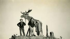
Photograph depicts (from left to right) Jack Lee, Gordon Wyness, and Lavender Monckton standing in front of a wooden moose. The wooden moose was located on top of a hill to the east of Prince George. The wooden moose was an advertisement for John A. Lestin's taxidermy business on Third Avenue in Prince George.
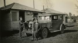
Photograph depicts (from left to right) Jack Lee, Gordon Wyness, and Lavender Monckton sitting on their 1930 Buick Series 40 car in front of their temporary cabin lodgings in Prince George. This photograph was taken before the group left Prince George to head to 6 Mile Lake or Tabor Lake.
Image depicts the Javva Mugga Mocha Cafe in Prince George, B.C.
Photograph depicts Jim Paulson at "Words, Loves" conference.
