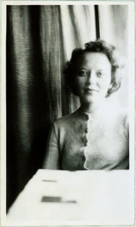
Handwritten caption above this photo reads: "Sophie [Haach?] [lived?] in the Adams House". Photograph depicts Sophie seated behind table, curtains in background.
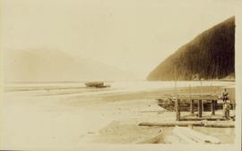
Photograph of a vessel filled with lumber just off the coast of a shore also littered with lumber. Mountains are barely visible in the background.
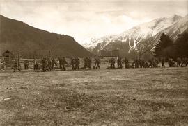
Photograph depicts a large number of soldiers bearing packs walking in a line through a rancher's field, possibly somewhere between Bella Coola and Anahim Lake during the WWII Polar Bear training exercise.
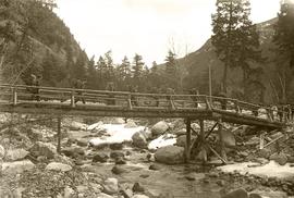
Photograph depicts a soldiers with packs walking over a wooden log bridge, possibly somewhere between Bella Coola and Anahim Lake during the WWII Polar Bear training exercise.
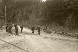
Photograph depicts soldiers walking along road with children watching nearby, possibly somewhere between Bella Coola and Anahim Lake during the WWII Polar Bear training exercise.
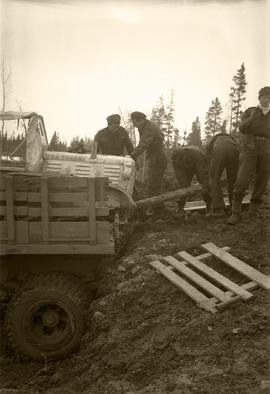
Photograph depicts soldiers unloading an American military jeep from a military truck, possibly somewhere between Bella Coola and Anahim Lake during the WWII Polar Bear training exercise.
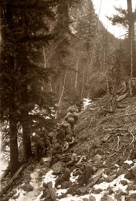
Photograph depicts soldiers trekking uphill with pack horses in mountainous terrain between Bella Coola and Anahim Lake during the WWII Polar Bear training exercise.
Photograph depicts soldiers trekking uphill in mountainous terrain between Bella Coola and Anahim Lake during the WWII Polar Bear training exercise.
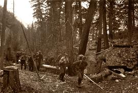
Photograph depicts soldiers trekking through mountainous terrain between Bella Coola and Anahim Lake during the WWII Polar Bear training exercise.
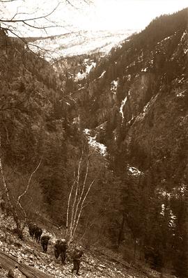
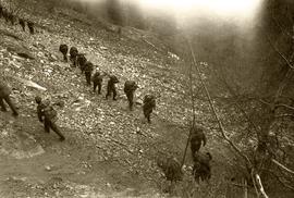
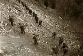
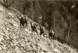
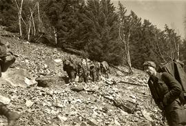
Photograph depicts a line of soldiers hiking up switchbacks on a steep rocky slope between Bella Coola and Anahim Lake during the WWII Polar Bear training exercise.
Photograph depicts a line of soldiers hiking up switchbacks on a steep rocky slope between Bella Coola and Anahim Lake during the WWII Polar Bear training exercise.
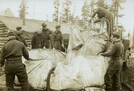
Photograph depicts a soldiers transferring water from military truck water bag to a large water bag on the ground, possibly somewhere between Bella Coola and Anahim Lake during the WWII Polar Bear training exercise.
Photograph depicts a line of soldiers hiking up switchbacks on a steep rocky slope between Bella Coola and Anahim Lake during the WWII Polar Bear training exercise.
Photograph depicts a line of soldiers hiking up switchbacks on a steep rocky slope between Bella Coola and Anahim Lake during the WWII Polar Bear training exercise.
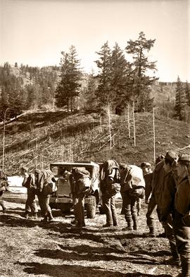
Photograph depicts a number of soldiers wearing packs near a military truck, likely somewhere between Bella Coola and Anahim Lake during the WWII Polar Bear training exercise.
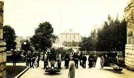
Photograph depicts a military band near the parliament buildings in Victoria, BC.
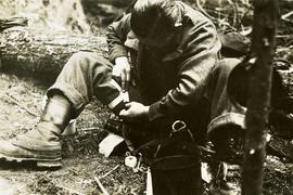
Photograph depicts a solider mending his uniform likely somewhere between Bella Coola and Anahim Lake during the WWII Polar Bear training exercise.
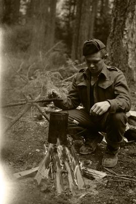
Photograph depicts a soldier cooking over a campfire, likely somewhere between Bella Coola and Anahim Lake during the WWII Polar Bear training exercise.
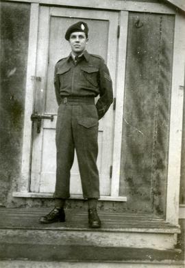
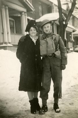
Photograph inscription on verso: "This is a picture of my mother and I taken when I returned from the west before I joined the R.G.O.G. (Motul) the dress in which we returned. Bob."
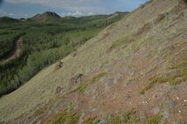
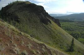
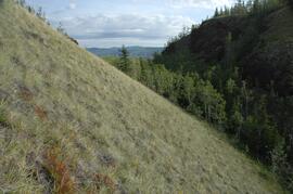
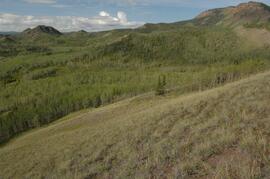
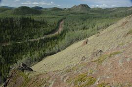
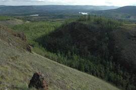
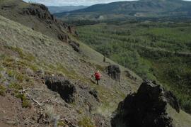
The Kluane Lake area of SW Yukon was a continuing focus of Dr. Paul Sanborn's research for more than a decade, and generated several productive collaborations. Key themes included biological soil crusts in boreal grasslands, and interactions between aeolian sediment deposition, slope processes, and fire in boreal grassland and forest soils.
Research results appeared in these publications:
Marsh, J., Nouvet, S., Sanborn, P., and Coxson, D. 2006. Composition and function of biological soil crust communities along topographic gradients in grasslands of central interior British Columbia (Chilcotin) and southwestern Yukon (Kluane). Canadian Journal of Botany 84: 717-736. https://doi.org/10.1139/b06-026
Pautler, B.G., Reichart, G.-J., Sanborn, P.T., Simpson, M.J., and Weijers, J.W.H. 2014. Comparison of soil derived tetraether membrane lipid distributions and plant-wax δD compositions for reconstruction of Canadian Arctic temperatures. Palaeogeography, Palaeoclimatology, Palaeoecology 404: 78-88. https://doi.org/10.1016/j.palaeo.2014.03.038
Sanborn, P. and A.J.T. Jull. 2010. Loess, bioturbation, fire, and pedogenesis in a boreal forest – grassland mosaic, Yukon Territory, Canada. 19th World Congress of Soil Science, Soil Solutions for a Changing World 1 – 6 August 2010, Brisbane, Australia. http://www.iuss.org/19th%20WCSS/Symposium/pdf/0120.pdf
The 2003 field work with Darwyn Coxson was a pilot study to assess the types and distribution of biological soil crusts in boreal grasslands in the Kluane Lake area. Eight sites were visited at which the team sampled the crust and the uppermost A horizon immediately underneath it. Note that site numbers Y03-03, -04, -05, -06, -07, -09, -10 and -12 were indicated as sites 3, 4, 5, 6, 7, 9, 10 and 12 in Table 1 of Marsh et al. (2006). Additional crust sampling was conducted at two additional sites (“Peninsula”, “Silver City”) in 2004; details of sampling methods and site locations are in Marsh et al. (2006).
Results from 2009 field work were presented in Sanborn and Jull (2010), along with soil charcoal radiocarbon dates from 2003-2008 sampling which were used to reconstruct fire history in the Kluane Lake area. The 2003 (a single site at Silver City), 2004, and 2008 field work consisted of a reconnaissance of grassland and forest sites across a range of aspects and slope positions in order to recover buried soil charcoal.
With support from the Muskwa-Kechika Trust Fund as a Seed Grant, Dr. Paul Sanborn carried out a pilot study of soils in relation to prescribed burning in the Northern Rocky Mountains, in collaboration with Perry Grilz, then a Range Officer in the Ministry of Forests. Sanborn and Grilz conducted 3 days of field work in July 2001. Sanborn wanted to test the utility of plant-derived opal (phytoliths) as a soil indicator of vegetation history, in the hope of distinguishing natural grasslands from those created by anthropogenic burning.
While at the Ministry of Forests, Dr. Paul Sanborn carried out two retrospective studies which examined soil chemical properties at long-term silvicultural research sites where different vegetation types had been created, either as planned or unplanned experiments. These studies were Experimental Project (EP) 660 and a research project at the Archie Creek site.
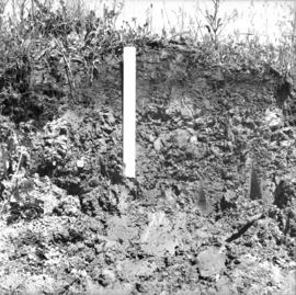
Caption describing photograph: "Soil (sod) development over lacustrine deposits. Depth to carbonated layer (1922 fire) 2.5", depth to parent material 6". Note blocky structure of deposit (clay). Root penetration to 1'. Root penetration of willow and aspen to 1.5'. Blocky structure from fluctuating water table, gentle slope to land form."
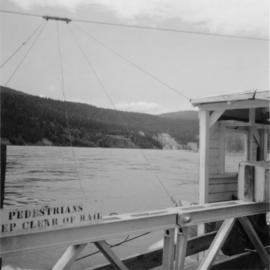
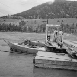
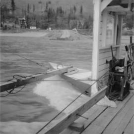
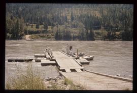
Photograph depicts the Soda Creek reaction ferry.
Photograph depicts the Soda Creek reaction ferry.
Photograph depicts the Soda Creek reaction ferry. A ferry was sited between Soda Creek and Marguerite. The reaction ferry in Soda Creek itself had been abandoned for some time.
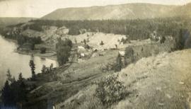
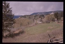
Photograph depicts a view of a small village near a river, a narrow dirt road boarders the river.
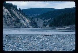
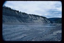
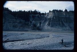
Image depicts the cutbanks of the Fraser River at Soda Creek, B.C.
Image depicts the cutbanks of the Fraser River at Soda Creek, B.C.
Image depicts the cutbanks of the Fraser River at Soda Creek, B.C.
Image depicts a section of land, with a few houses, in Soda Creek, B.C.
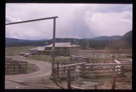
Image depicts what appears to be a Ranch at Soda Creek, B.C.
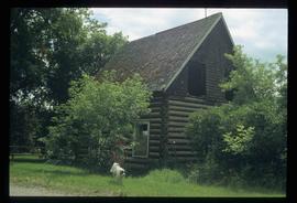
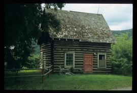
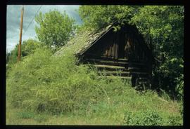
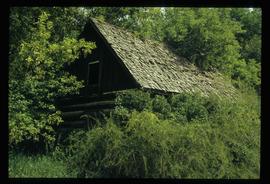
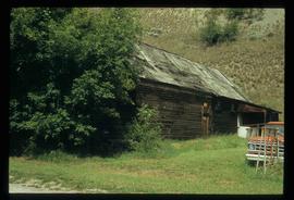
Image depicts an old building located somewhere are the Pickard farm north of Soda Creek, B.C.
Image depicts an old building located somewhere are the Pickard farm north of Soda Creek, B.C.
Image depicts the old jail house in Soda Creek, B.C.
Image depicts the old jail house in Soda Creek, B.C.
Image depicts the old community hall in Soda Creek, B.C.
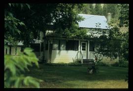
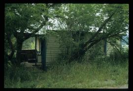
Image depicts a house in Soda Creek, B.C.
Image depicts the ferry at Soda Creek, B.C.
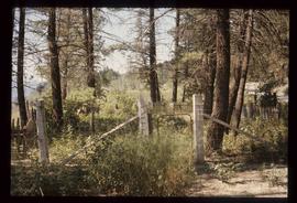
Image depicts the cemetery in Soda Creek, B.C.
Image depicts the old BX Sternwheeler office building in Soda Creek, B.C.
