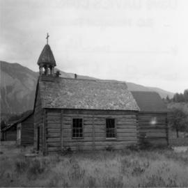
2013.6.36.1.002.053
·
Item
·
Aug. 1965
Part of David Davies Railway Collection
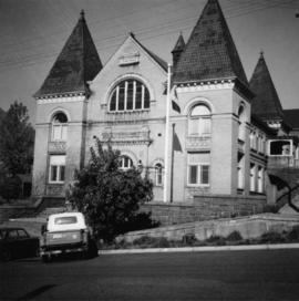
Photograph depicts a church on a reservation at Mosquito Creek in North Vancouver, B.C.