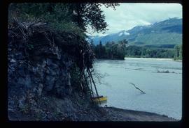
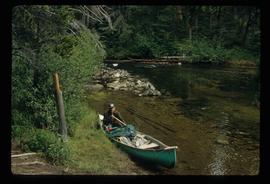
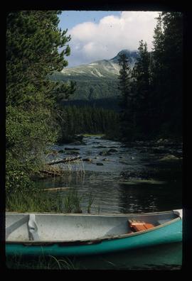
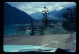
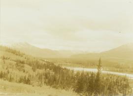
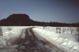
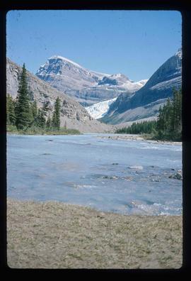
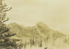
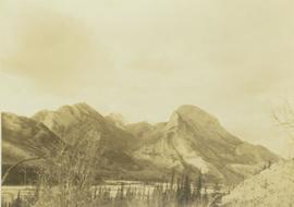
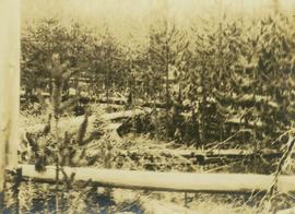
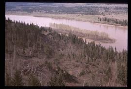
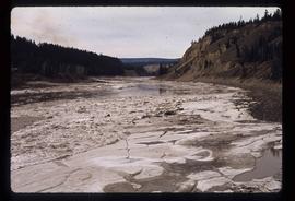
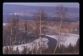
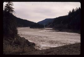
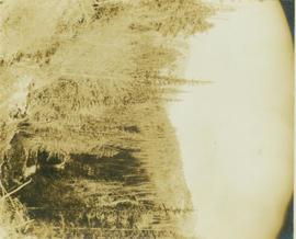
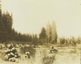
Photograph depicts regenerating pine trees in a burn area.
Image depicts a river and a hillside at an unknown location.
Image depicts a river, possibly the Nechako, in Prince George, B.C. Possibly taken from the Foothills Bridge.
Image depicts a river at an uncertain location.
Image depicts a river, possibly the Fraser, at an uncertain location.
Image depicts a river at an uncertain location.
Image depicts what is possibly a section of the Tseax River.
Image depicts a man in a canoe on a river somewhere in South Tweedsmuir Provincial Park. The man is possibly Kent Sedgwick.
Image depicts a canoe on a river somewhere in South Tweedsmuir Provincial Park.
Image depicts a river, possibly either the Nechako or the Fraser, and a mountain range from an unknown location.
Image depicts a river on the left of the image and a range of mountains in the distance, located somewhere near Bralorne, B.C.
Image depicts what appears to be a small, narrow river, and mounds of snow. The location is uncertain.
Photograph depicts an unidentified river flowing through snowy area, trees on left, hill on right. Barbed wire fence crosses foreground.
Trees and riverbank cross midground. Single tree in foreground, mountain in background.
Image depicts a ferry on a river, possibly the Fraser River in the Lillooet area.
Image depicts a river full of logs, somewhere near Bralorne, B.C.
Photograph depicts a river running through a carved mountain landscape with a forested cliffside.
Photograph depicts a river running through a heavily forested landscape.
Photograph depicts a river running through a forested landscape with mountains in the background.
Photograph depicts a river running through a heavily forested landscape.
Photograph depicts a river running through a snowy landscape with a forest visible in the background.
Image depicts a river with dense trees on either side.
Photograph depicts tree-covered cliffs on opposite shore, river in foreground.
Image depicts a road with what appears to be a junkyard to the right of the image, likely located somewhere in Seton Portage, B.C.
Image depicts a mountain located somewhere along the Skeena River, and a road alongside it.
Image depicts a road somewhere in the Upper Fraser Canyon, and a view of the hills and trees.
No annotation on slide.
Image depicts a ditch near a road somewhere in Woodpecker B.C.
Image depicts a road somewhere in Woodpecker, B.C.
Image depicts a water-filled ditch near a road somewhere in Woodpecker B.C.
Image depicts a north view of a road somewhere in Woodpecker, B.C.
Image depicts a road located somewhere near Birken, B.C.
Image depicts the road leading to Hyder, which is on the other side of the Alaska-British Columbia border and is just a little south-west of Stewart, B.C.
Image depicts the dirt road leading to Keithley Creek.
Image depicts a road leading to Prince Rupert, B.C.
Image depicts the road to Skagway, Alaska. Possibly located on the Klondike Highway in British Columbia with Tutshi Lake on the left.
Image depicts an old log cabin with the sign "Robin Hood Flour" on it at an uncertain location. It is possibly at the 153 Mile House.
Image depicts what is possibly the Robson River.
Image depicts a river, possibly the Robson River.
Image depicts what is possibly the Robson River.
Photograph depicts Roche Myette along Davona Creek near a campsite.
Image depicts the peak of the Rocher de Boule mountain from Hazelton, B.C.
Image depicts ridge-like rock formations at an uncertain location, though possibly somewhere near the Fraser River.
Photograph depicts men on river scow, large rock island or peninsula protruding into river behind them. Trees on opposite shore in background, large rock in foreground. Handwritten annotation on verso of photograph: "Grand Canyon. Fraser River. Big Rock.", on recto of copy print: "1911."
Photograph depicts the Rocky Mountain range visible from above distant tree tops.
Image depicts a heavily forested area located in the Rocky Mountain Trench, possibly near Dome Creek or Lamming Mills, B.C.