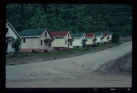
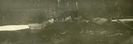
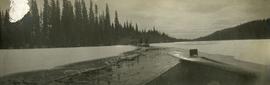
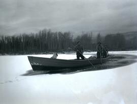
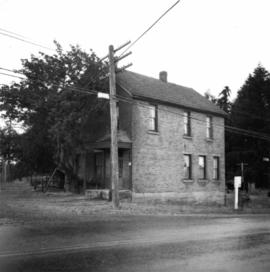
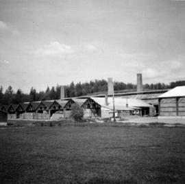
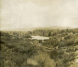
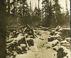
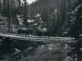
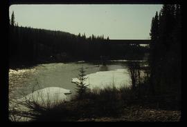
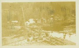
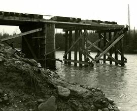
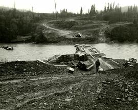
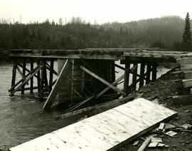
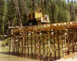
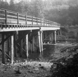
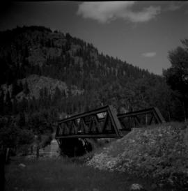
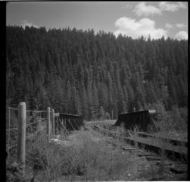
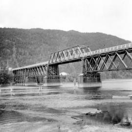
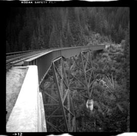
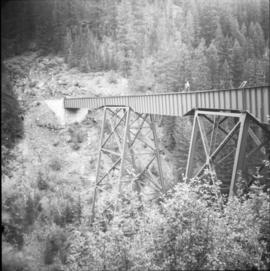
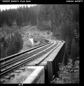
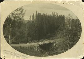
Image depicts an area of Barlone, B.C. surrounded by trees.
Image depicts a church and a row of houses in Bralorne, B.C.
Image depicts a few boarded-up buildings in Bralorne, B.C.
Image depicts a row of houses in Bralorne, B.C.
Image depicts several houses in Bralorne, B.C.
Image depicts what is possibly an old, rundown mill in Bralorne, B.C.
Image depicts the old sales office of Bralorne Pioneer Mines Ltd. which is now the Bralorne Pioneer Museum.
Photograph is one of 13 images printed from digital format on a CD-R featuring members of a group referred to as 'Terracites' (see item 2009.6.1.697) pictured in the gardens; see also items 2009.6.1.699 - 2009.6.1.710.
Photograph depicts the Brandenburg Gate in Berlin, East Germany. The photograph was taken on Iona Campagnolo's European sports tour.
Photograph depicts the waterfall Brandywine Falls.
Photograph depicts A cluster of boats anchored on the edge of a stream, some men standing on shore. Photograph is dark and blurry.
Photograph depicts a bow of a boat in the foreground. Thick ice on the edges of the river, water with floating ice beyond the boat. Trees lines the shoreline.
Photograph depicts three men in a boat using long poles to steer a boat through an ice covered river section at Finlay Forks.
Photograph depicts five men carrying shovels, walking through the snow in single file.
Photograph depicts Brian J. Sketchey of Simon Fraser University landing at the the Vancouver Sea Festival Accuracy Competition at English Beach. Sketchey was also a recipient of a 1976/77 grant-in-aid for student athletes.
Photograph depicts one of the earlier brick buildings beside the river, sited opposite the sternwheeler landing pier. It is called Commercial Block and was built in 1897.
Photograph depicts about the only brick house in North Wellington, Nanaimo. It was possibly built about 1860-1870 when coal working first commenced.
Photograph depicts the brick works at Haney, B.C., within 100 yards of the Fraser River. Current production appeared to be bricks, tiles, and flowerpots. There is a disused railway spur in the works
Image depicts a bridge in Prince George, B.C.
Image depicts a bridge under construction in Tumbler Ridge, B.C.
Image depicts a bridge in Prince George, B.C.
Photograph depicts a view of a small bridge and dirt road joining buildings on two sides of a river. Loaded packhorses are traveling down the road. There are mountains in the distance. Survey of 55th parallel.
Photo depiicts a bridge over the Fraser River, south of Williams Lake. It was in poor condition, but was being prepared by the Department of Highways. The bridge was taken on the Gang Ranch public road, and led to the ranch and its uninhabited hinterland.
Photograph depicts a rustic bridge covered in snow leading across a log jam. A horse is walking on the bridge toward the photographer. [55th parallel]
Photograph depicts a trail through log jam built by survey party. [55th parallel]
Photograph depicts two horses loaded with packs walking across a wooden bridge leading over Wedge Creek.
Photograph depicts two men on the bridge of the "Kwuna" ferry with car deck at Sandspit, Queen Charlotte Islands.
Image depicts a river in Tumbler Ridge, B.C. The bridge crossing it appears to be either half-missing or incomplete.
Photograph depicts the bridge at Goodacre Pond in Beacon Hill in Victoria, BC. Duck in foreground.
Photograph depicts the bridge at Goodacre Pond in Beacon Hill in Victoria, BC. Swans are swimming in the pond and there is a path and footbridge behind the pond.
Photograph taken on Highway 16, between Vanderhoof and Burns Lake. This road and bridge was to be passed by a new section of the highway. To the date the photograph was taken, all traffic between Prince George and Prince Rupert had used the bridge.
Photograph depicts eight men building a wooden bridge over a section of lake. A mining (?) work camp is visible in a foreseted background.
The photograph depicts a partially built wooden bridge over the Anzac River. Annotation on reverse side of the photograph states, "The Pas Lumber Company Ltd Oct 19/75 Anzac River - Colbourne Road, Quadra Coast."
The photograph depicts a partially built wooden bridge over the Anzac River. A man is walking near the bridge. A turned over crane can be seen in the middle of the river. Annotation on reverse side of the photograph states, "The Pas Lumber Company Ltd Oct 19/75 Anzac River - Colbourne Road, Quadra Coast."
The photograph depicts a partially built wooden bridge over the Anzac River. Annotation on reverse side of the photograph states, "The Pas Lumber Company Ltd Oct 19/75 Bridge - Anzac River - Colbourne Road, Quadra Coast."
The photograph depicts a crane on a partially built wooden bridge over the Parsnip River, B.C. Annotation on reverse side of the photograph states, "The Pas Lumber Co Parsnip River Bridge #2, Missinka, River late 1970's Quadra construction crane"
Photograph depicts bridge built with wooden planks and poles, with triangles built into its frame. Water rapids in foreground, opposite shore in background behind bridge. This is speculated to be one of the bridges that crossed the Hagwilget Canyon on the Bulkey River since 1859, five kilometres from its confluence with the Skeena River. See items 2009.5.1.69 - 2009.5.1.71.
Photograph depicts bridge crossing over the Campbell River, 1 mile west of downtown Campbell River.
Photograph depicts bridge #269 crossing the West Kettle River. This is located approximately 2 miles north of the Rhone crossing and at about mile 27 on the CPR line in the Carmi Subdivision. The view is looking north and upgrade.
Photograph depicts bridge #504 crossing Wilkinson Creek at the top end of the Sawyer loop. This is at about mile 50.75 on the CPR line in the Carmi Subdivision. The elevation here is 2973 ft. and the line is climbing at an even ascent. The view is looking northeast.
Photograph depicts a bridge in Chase, BC
Photograph depicts the East Fork Canyon Bridge over Klo Creek, located at mile 86.5 on the CPR Kettle Valley Railway in Myra Canyon. The bridge is 365 ft. long, 148 ft. high, and has 5 through plate girder spans. The view is looking southwest.
Photograph depicts the East Fork Canyon Bridge over Klo Creek, located at mile 86.5 on the CPR Kettle Valley Railway in Myra Canyon. The bridge is 365 ft. long, 148 ft. high, and has 5 through plate girder spans. The view is looking northeast.
Photograph depicts the East Fork Canyon Bridge over Klo Creek, located at mile 86.5 on the CPR Kettle Valley Railway in Myra Canyon. The bridge is 365 ft. long, 148 ft. high, and has 5 through plate girder spans. The view is looking north.
Photograph depicts a log bridge interrupting a wide dirt road in forest. Distant hills in background. Image has been cropped to an oval shape. Handwritten annotation on verso of photograph: "Fort George - Hazleton Highway Near Burn's Lake".