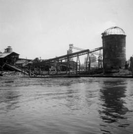
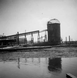
Photograph depicts a lumber mill probably in the Lower Mainland.
Photograph depicts a lumber mill probably in the Lower Mainland.
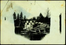
Tarp covers portion of lumber pile. Log fence and trees in background. Image quality is poor and sections of photograph are not visible.
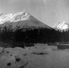
Photograph depicts approximately six lumber piles in the northwest corner of snow-covered plant site. Forest and snow-capped mountains in background. Photo taken facing west.
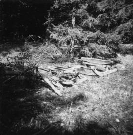
Photograph depicts a lumber sledge on an Indian Reserve. It was horse drawn and looked abandoned.
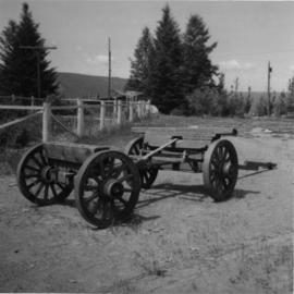
Photograph depicts a lumber wagon.
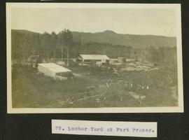
Typed caption glued to album page directly below photograph reads: "79. Lumber yard at Fort Fraser." Photograph depicts lumber yard and sawmill. Photographer: Dominion Stock & Bond Corporation.
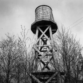
Photograph depicts a lumber yard on the north side of Porpoise Bay in Sechelt on the Sechelt Peninsula. The tank in the photograph is about 8 to 10 feet in diameter.
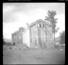
Photograph depicts all that remained of Lumberton Spruce Mills Ltd, circa 1912-1939.
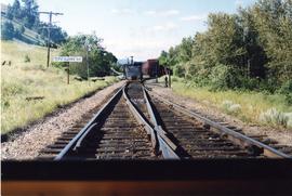
Photograph taken at the Lumby Branch that commenced with a timber trestle on Vernon Suburbs Road.
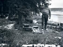
Photograph depicts a sleeping dog and a man holding up a bottle standing between a small campfire and box filled with dishes. In the background of the image there is a forested landscape and a river to the right of the man.
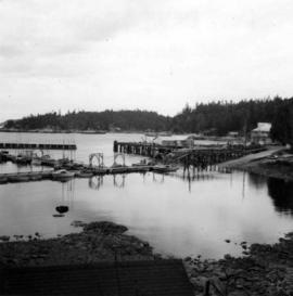
Photograph depicts Lund Harbour, looking north, 12 miles north of Powell River. It is the most northerly point on the mainland accessible by car, on this part of the coast. Lund is 92 car miles north of the ferry terminal at Langdale.
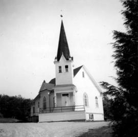
Photograph depicts a Lutheran Church on River Rd. in north Surrey, opposite from Annacis Island.
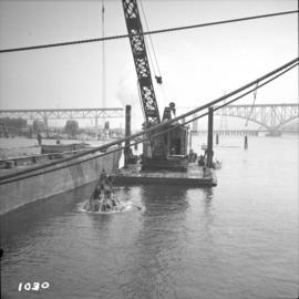
Photograph depicts the Lynn Terminals wharf in Vancouver Harbour. The view is looking east with the Second Narrows bridge in the background. The photo also shows a steam dredger at work.
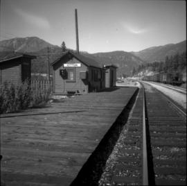
Photograph depicts the Lytton CPR depot in the Fraser Valley. The view is looking north and upgrade.
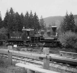
Photograph depicts an M. & B. R.R. locomotive. Location and details unknown.
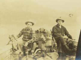
Photograph depicts Mac McGarvey (right) and Frank Dewing (left) seated in a boat on the Peace River. Mac McGarvey is steering the boat while Frank Dewing is pumping water from the boat.
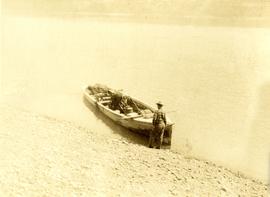
Photograph depicts Mac McGarvey (left) and Frank Dewing (right) getting the boat "Starvation" ready on a rocky shoreline in preparation for travel on the Peace River.
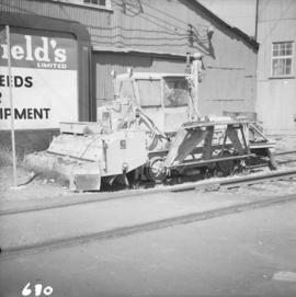
Photograph depicts a machine for cleaning the track of weeds with loose roots. It belongs to the B.C. Electric Railway and is located at Langley.
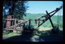
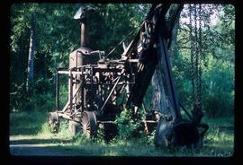
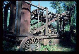
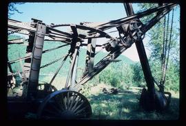
Image depicts a large, old piece of machinery, possibly some form of mining or prospecting equipment; it is located in Quesnelle Forks, B.C.
Image depicts a large, old piece of machinery, possibly some form of mining or prospecting equipment; it is located in Quesnelle Forks, B.C.
Image depicts a large, old piece of machinery, possibly some form of mining or prospecting equipment; it is located in Quesnelle Forks, B.C.
Image depicts a large, old piece of machinery, possibly some form of mining or prospecting equipment; it is located in Quesnelle Forks, B.C.
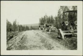
Photograph depicts a car, bulldozer, and tractor speculated to be involved in road construction. Rough dirt road runs left of machinery, forest and hills in background.
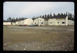
Image depicts numerous condominiums somewhere in Mackenzie, B.C.
Image depicts several apartment buildings and the sign for a Gulf Gas Station in Mackenzie, B.C.
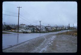
Image depicts a row of houses in Mackenzie, B.C.
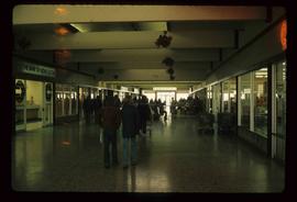
Image depicts numerous individuals inside a mall in Mackenzie, B.C.
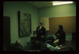
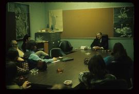
Image depicts numerous individuals examining a map as they are seated around a table. The location of the meeting is somewhere in Mackenzie, B.C.
Image depicts numerous individuals seated around a table and apparently having a meeting at an uncertain location in Mackenzie, B.C.
Image depicts the frozen Morfee Lake just to the East of Mackenzie, B.C. The slide is also labelled "sub-boreal," referencing that it is a sub-boreal spruce zone.
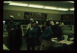
Image depicts numerous individuals wearing hard hats in what appears to be a computer room somewhere in Mackenzie, B.C.
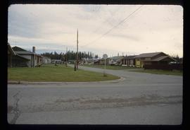
Image depicts a row of houses in Mackenzie, B.C.
Image depicts a row of houses in Mackenzie, B.C.
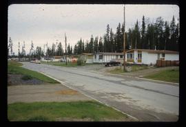
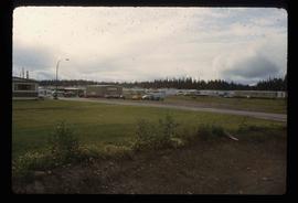
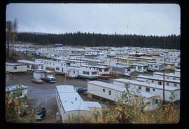
Image depicts a trailer park somewhere in Mackenzie, B.C.
Image depicts a trailer park in Mackenzie, B.C.
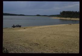
Image depicts a truck parked on a beach in Mackenzie, B.C.
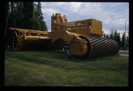
Image depicts an individual standing next to the world's largest tree crusher in Mackenzie, B.C.
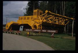
Image depicts the world's largest tree crusher in Mackenzie, B.C.
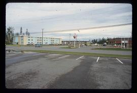
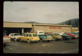
Image depicts numerous vehicles parked outside a building with a sign which reads "Mackenzie Centre;" it is possibly the mall in Mackenzie, B.C.
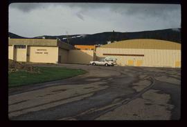
Image depicts the Mackenzie Curling Rink.
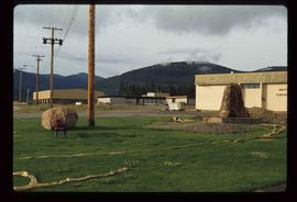
Image depicts a small section of Mackenzie, with the Mackenzie Curling Rink visible on the right side of the image.
Image depicts numerous vehicles in the parking lot of a mall in Mackenzie, B.C.
The eastern flank of the Mackenzie Mountains has a complex history of multiple glaciations by both the Laurentide and Cordilleran ice sheets, recorded in thick sequences of glacial sediments that were documented at 3 locations (Katherine Creek, Little Bear River, Inlin Brook) by:
Duk-Rodkin, A., R.W. Barendregt, C. Tarnocai, and F.M. Phillips. 1996. Late Tertiary to late Quaternary record in the Mackenzie Mountains, Northwest Territories, Canada: stratigraphy, paleosols, paleomagnetism, and chlorine-36. Canadian Journal of Earth Sciences 33 (6): 875-895. https://doi.org/10.1139/e96-066
Of the 3 sites, the exposure on Inlin Brook, a tributary of the Keele River, was the least well-documented, so in summer 2004 Dr. Paul Sanborn joined a field party of the Geological Survey of Canada (GSC) based at Tulita, NWT, and was given helicopter support to visit Inlin Brook (August 5-8). A brief visit was also made to the Little Bear River site.
On August 9-10, Sanborn joined Alejandra Duk-Rodkin (GSC) and Rene Barendregt (U Lethbridge) in helicopter-assisted field work at sites in the Franklin Mountains and elsewhere east of the Mackenzie River.
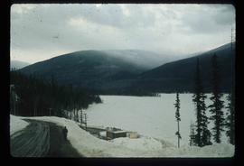
Image depicts the Mackenzie Reservoir in Mackenzie, B.C.
Image depicts the Mackenzie Reservoir in Mackenzie, B.C.
