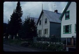
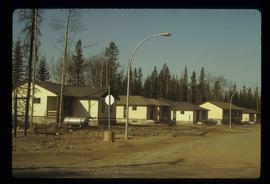
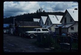
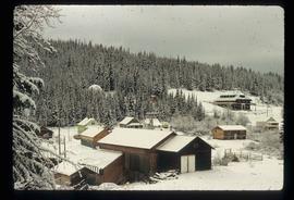
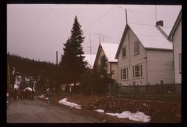
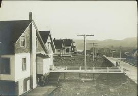
2012.13.1.87.023
·
Item
·
[between 1975 and 1995]
Part of J. Kent Sedgwick fonds
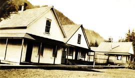
Image depicts a small house with brightly coloured door and window frames in Penny, B.C.