2013.6.36.1.004.26
·
Item
·
[May 1965]
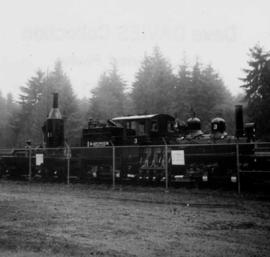
Part of David Davies Railway Collection
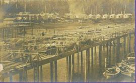
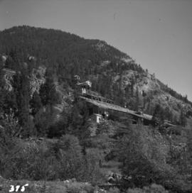
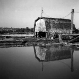
Photograph depicts a floating log saw cutter moored in the north arm of the Fraser River on the Lulu Island side near the #8 road.