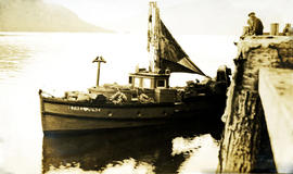
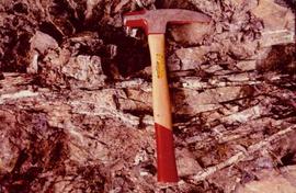
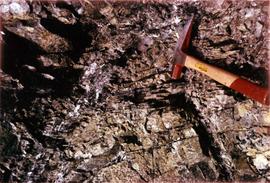
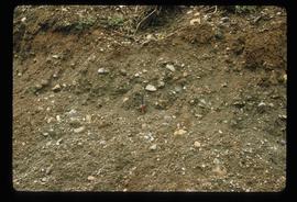
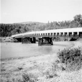
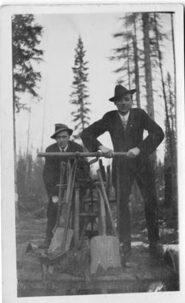
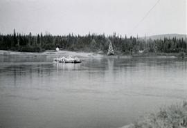
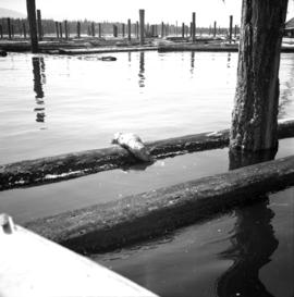
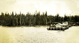
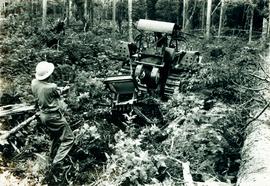
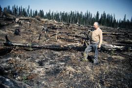
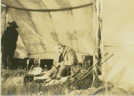
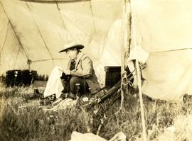
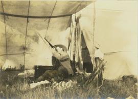
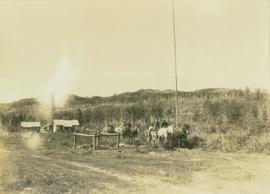
Image depicts Haldi Lake near Prince George, B.C.
Image depicts an old, half-collapsed building at an uncertain location.
Image depicts a house on Blackwater Road.
Photograph depicts a small fishing boat near dock. Handwritten annotation below photograph reads, "Halibut fishing boat".
Image depicts a hallway in an unknown building somewhere in Wells, B.C.
View of 5 buildings and 4 tents on land that has been cleared to stumps. Printed annotation on verso reads: “HAMILTON AVE. FORT GEORGE”, added handwritten annotation in ink reads: “1910”.
Street scene showing people, dog, team of horses & wagon. Signage reads: “Beds; Mecca Café; Hardware.” Printed annotation on recto reads: “Hamilton Avenue, South Fort George, B. C. No. 110.” Verso displays cancelled 1 cent Canadian Postage Stamp and handwritten message in ink is addressed to Mr. Eathan Villard Burt Mish, U.S.A.
Photograph depicts Hamilton St. in Vancouver. The photo was taken at the back of 1250 Homer St, but is actually on Hamilton St., looking east. The left-hand line is in regular use, but the siding on the right hand side is not.
Photograph depicts Hamilton St. in Vancouver, looking northeast.
Photograph depicts a geologist's hammer, believed to belong to Cassiar's Chief Geologist Bill Plumb. The hammer provides a scale for the exposed asbestos, indicating the percent of fibre in the rock as well as the expectation of grade.
Image depicts a hammer sitting in dirt at an uncertain location.
Photograph depicts the Hanceville Bridge that went over the Chilcotin River.
Photo depicts two men on a hand car: handwritten descriptor with photo reads: "Hand car photo, Chicken Lake (now Lake Kathlyn just west of Smithers on CN mainline; was the Grand Trunk Pacific ice house. Sunday March 14th, 19__."
Photograph depicts a hand car at the Fort Steele Railway Museum. Built by Fairmont of Canada.
Photograph depicts a hand car owned by the Kettle Valley Steam Railway. Behind it was a Woodings inspection car.
Photograph depicts the hand truck and track material at Tilbury, Delta in the Fraser Valley. It belongs to the Canadian National Railway (CN)
Image depicts a man and woman shaking hands in a building at an uncertain location, possibly in Cottonwood Park. The man standing behind the two is possibly Elmer Mercier, a former mayor of Prince George, B.C.
Photograph depicts some stumps and grassland in the foreground, a few buildings on the right, sparsely forested rocky hillside in the background.
Photograph depicts a building that was believed to have had many usess, its last being a fish store.
Photograph depicts an exterior view of a hangar at the Edmonton Airport surrounded by four airplanes and three automobiles.
Image depicts the new Hansard Bridge. Map coordinates 54°04'57.9"N 121°51'10.1"W
Caption describing photograph: "Hansard Ferry"
Image depicts the Hansard railroad bridge taken from the new Hansard vehicle bridge. Map coordinates 54°04'58.1"N 121°50'58.0"W
Image depicts the Hansard railroad bridge looking west. Map coordinates 54°04'37.9"N 121°50'46.3"W
View of building, dock, harbour and small islands with snow peaked mountains in background. Printed caption on verso reads: “Port Essington B.C. Photo by P. E. Fisher”. Handwritten annotation in ink on verso reads: “up the Skeena”, in pencil on verso: “Port Essington, North Coast Commercial Coy”.
Boats, docks, ships and a large building in waterscape. Printed annotation on recto reads: “Prince Rupert B.C.” Handwritten annotation in pencil on verso reads: “McRae Bros”.
Elevated view of the buildings along the Prince Rupert shore, including the Prince Rupert Inn. The waterfront and some small islands can be seen in the background. Printed annotation on recto reads: "Harbour, Prince Rupert, B.C. 1658."
Photograph depicts Coal Harbour in Vancouver. The photo is facing land fill with stone on the tidal side. The site is for the first block of the Harbour Park Development Ltd. high rise apartments.
Photograph depicts the Harbour Park Development site in Coal Harbour, Vancouver. Taking rock from the scow to face fill with anti-erosion material. The site is for new high rise apartments at the edge of Stanley park between Georgia St. and the sea.
Photograph depicts a harbour seal. Davies' sailboat is in the foreground.
Photograph depicts a harbour seal diving into the water after sunning on a boom log. The bow of Davies' sailboat is in the foreground.
Caption describing photograph: "Hardwood stand on Lacustrine deposits following severe burn, negligible coniferous understory. 1922 burn N side Eaglet Lake. Aspen with scat Birch +/-20 yrs. +/-6 D.B.H. +/-35'. Understory willow and alder, twin flower R O Dogwood Rose H B Cranberry, scat sorylus, rubus, was A-D S-B site."
Photograph depicts the Hardy Bay pier. Handwritten annotation below the photograph reads, "Hardy Bay. Vancouver Island".
Image depicts a road leading into a First Nations' Reserve at the head of Harrison Lake.
Photograph is a copy print.
Annotation on slide: "Harry Coates with Sw seedlings planted spring of 1991, SBSwk1, Note chlorotic seedlings"
Handwritten annotation on recto of photo reads: "Harry Monson Edmonton Prince George." Harry reclines on bed under window, surrounded by personal effects. Photograph was taken after nightfall. Handwritten caption beside this photo reads: "Harry talked my dad into selling him my boat".
Photograph depicts Harry Snyder (left) and Carrol Paul (right) seated side by side on a log with a low wooden building in the background.
Photograph depicts Harry Snyder sitting under a tent cleaning his rifle. In the background behind Snyder are several boxes and a man standing with his back to the camera.
Photograph depicts Harry Snyder sitting under a tent cleaning a rifle with two other rifles resting beside him.
Photograph depicts Harry Snyder sitting under a tent sighting his newly cleaned rifle with two other rifles leaning beside him.
Photograph depicts Harry Snyder with three wagons and horse teams coming into Hudson's Hope from Portage. In the background three small buildings are visible in front of a forested area.
Image depicts Glenview Drive near the Hart Highway in Prince George, B.C.
Photograph depicts Hart Gardner. Handwritten annotation on verso of photograph reads, "Hart Gardner".
Image depicts a neighbourhood on the Hart Highway in Prince George, B.C.
Photograph depicts the exterior of Hartley Bay school, designed by North Vancouver architect Ib G. Hansen, with school children
Conical woven hat with a flat top and circular brim. Shells sewn to hat.
Handwritten annotation in pen on verso reads: “W.E. Collison.” Stamped annotation on verso reads: “Department of Mines and Resources, Photographic Section. Oct. 6, 1939”. Numeric annotation on verso: “50-2”