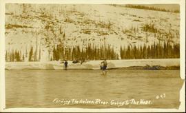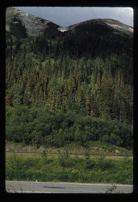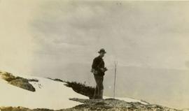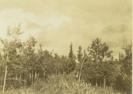
2000.1.1.1.05.07
·
Item
·
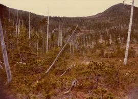
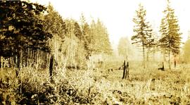
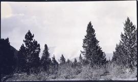
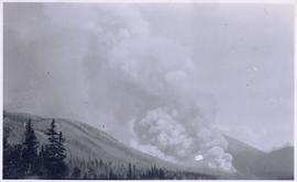
1962
Part of Cassiar Asbestos Corporation Ltd. fonds
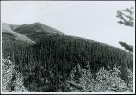
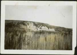
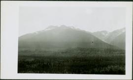
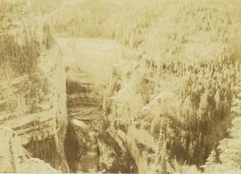
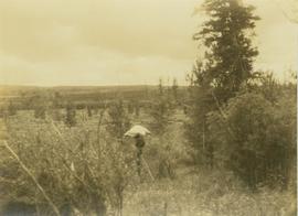
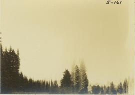
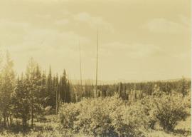
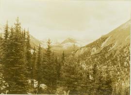
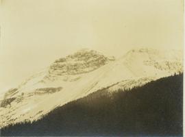
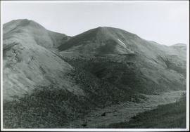
Photograph depicts range of hills, trees in valleys.