2012.13.1.51.077
·
Item
·
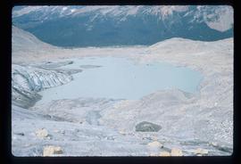
[1973?]
Part of J. Kent Sedgwick fonds
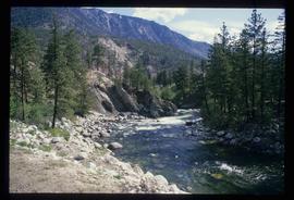
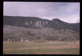
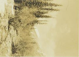
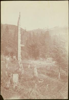
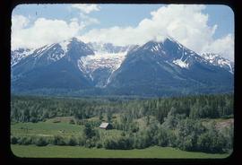
Image depicts a mountain in Smithers, B.C.