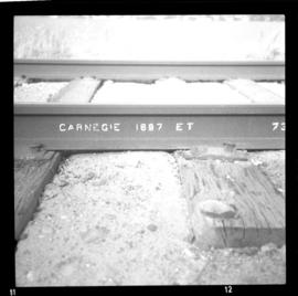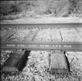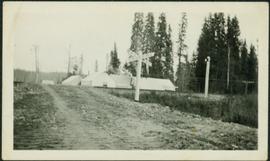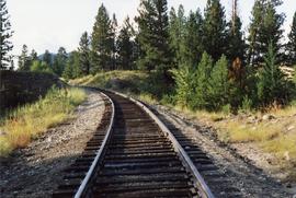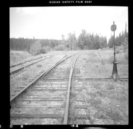
2013.6.36.1.026.12
·
Item
·
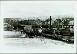
[22 June 1979]
Part of David Davies Railway Collection
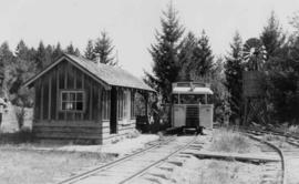
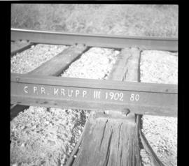
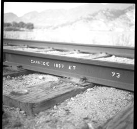
Photograph depicts the trackage [main passing track?] at the McCulloch CPR depot, located at mile 76.6 on the Carmi Subdivision. The rail is 85 lbs. and dated 1940.