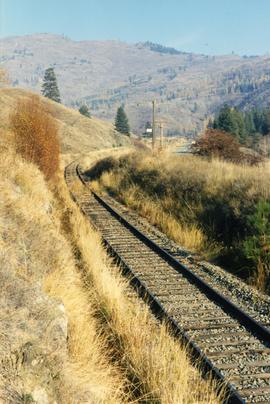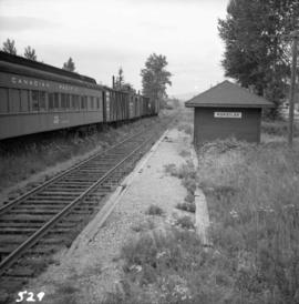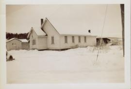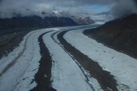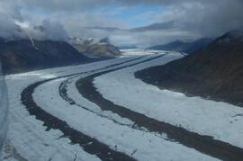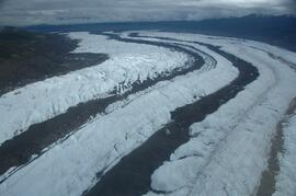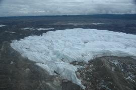
2013.6.36.1.155.09
·
Item
·
Nov. 1989
Part of David Davies Railway Collection
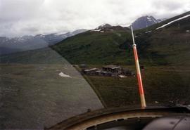
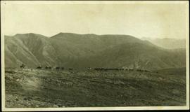
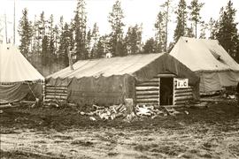
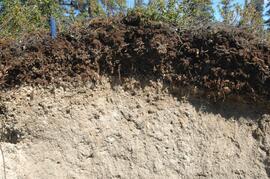
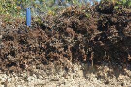
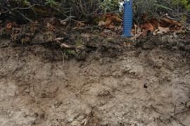
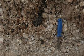
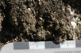
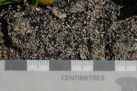
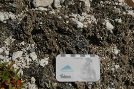
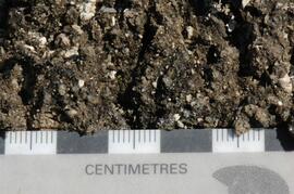
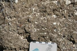
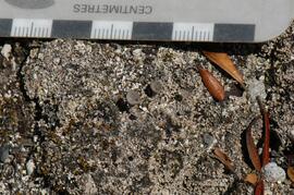
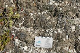
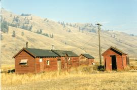
Photograph depicts a terminus of a boundary Subdivision on mile 126.6 from Nelson.