2007.1.80.1.07
·
Item
·
1970
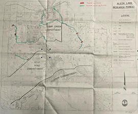
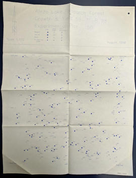
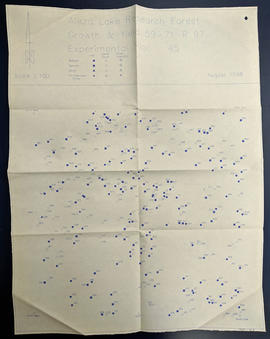
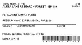
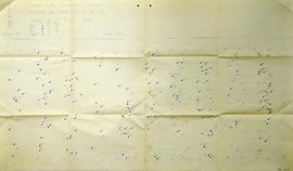
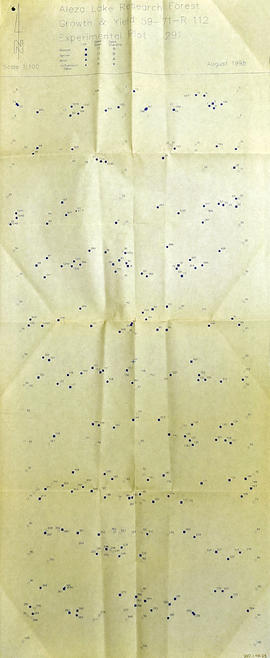
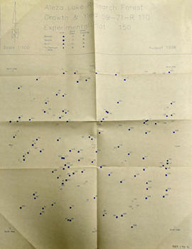
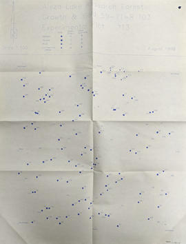
Part of Aleza Lake Research Forest fonds
Map reflects boundaries for the Aleza Lake Experiment Station, permanent sample plots, timber sales locations, and the Ecological Reserve.