Showing 3101 results
Archival description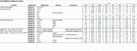
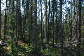
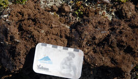
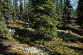
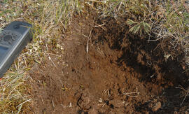
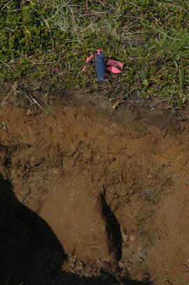
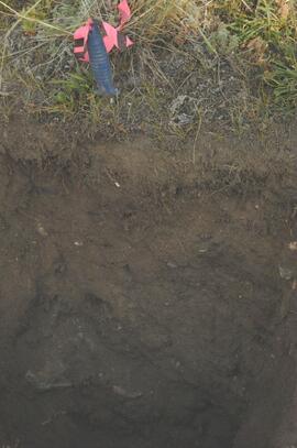
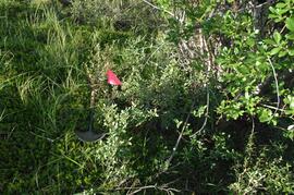
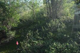
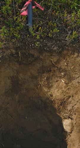
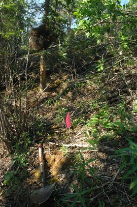
Gold Bottom soils data and descriptions
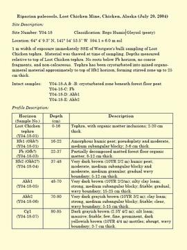
"Riparian paleosols, Lost Chicken Mine, Chicken, Alaska (July 20, 2004)"
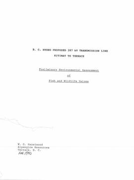
"B.C. Hydro Proposed 287 kV Transmission Line - Kitimat to Terrace - Preliminary Environmental Assessment of Fish and Wildlife Values" (draft)

Harry Coates Oral History Interview (2013) Audio Recording - Part I

Harry Coates Oral History Interview (2013) Audio Recording - Part II
Harry Coates Oral History Interview (2013) Transcript
Harry Coates Oral History Interview (2013) Transcript

"Location Map - E.P. 886.15 Installation 2 - Kenneth Creek"
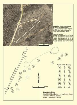
"Location Map - E.P. 886.15 Installation 1 - Holy Cross Creek"
"Applying Traditional Knowledge to Future Initiatives" panel
"Applying Traditional Knowledge to Future Initiatives" panel

Early Pleistocene basalt cliffs on the north side of the Yukon River

Wilderness trombone at Camp 1

Camp 1, facing southwest

Mouth of Black Creek

Camp 2 at the mouth of Black Creek

Middle Pleistocene basalt cliffs west of Camp 2

Flight between Camp 2 and Camp 3

Flight between Camp 2 and Camp 3

Flight between Camp 2 and Camp 3

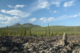
South flank of Volcano Mountain

South flank of Volcano Mountain

Near Camp 3
Wilderness trombone at Camp 3
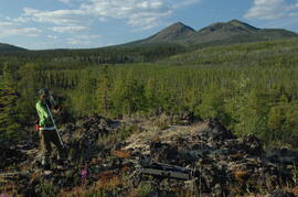
Holocene basalt flows near Camp 3
Holocene basalt flows near Camp 3
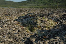
Holocene basalt flows near Camp 3
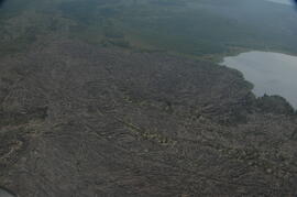
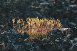
Holocene basalt flows south of Volcano Mountain
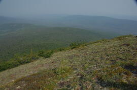
Summit of Volcano Mountain
Summit of Volcano Mountain

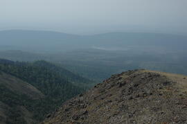
North side of Volcano Mountain

North side of Volcano Mountain
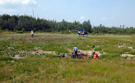
Site Y09-05 site view 1
Site Y09-18
Site Y09-19 profile detail
Site Y09-19

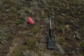
Site Y09-21 annotated profile
Site Y09-22 profile

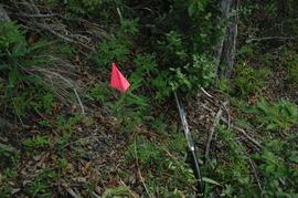
Site Y09-23 lapilli
Site Y09-23
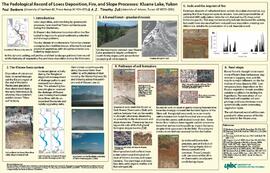
"The Pedological Record of Loess Deposition, Fire, and Slope Processes: Kluane Lake, Yukon"
Y09-24 G15 surface
Y09-24 G25 surface
Y09-24-01 profile
Y09-24-06 G5 profile
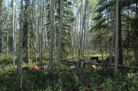
Y09-27 site view to forest
Y09-27-01 crest surface
Y09-27-05 G20 surface
Y09-27-06 G25 site view

Y09-27-07 F5 site view
Y09-27-08 profile
Y09-27-10 F20 site view