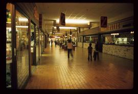
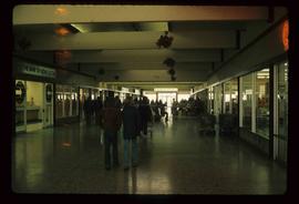
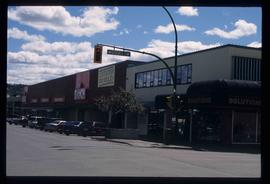
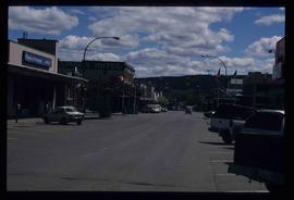
The item is a poster showcasing redevelopment plans for Prince George's downtown.
The item is a business focused newspaper from Central Interior Business focusing on business and economics in the central interior British Columbia.
Image depicts the Garrett Store in Atlin, B.C. A plaque on it reads: "John Garrett, a prominent English cricket player, came to Atlin in 1910 to mine gold. In 1917 he opened this grocery and dry goods store where he also sold his wife's fresh baked bread and sweets."
Image depicts the bus depot in Skagway, Alaska (USA).
Image depicts the Pine Tree Restaurant in Atlin, B.C. It is possibly part of the Atlin Museum.
Image depicts the Caribou Hotel and the Matthew Watson General Store in Carcross, Y.T.
Image depicts the Station Museum and the "Alberta Pool Elevators Ltd." building in Dawson Creek, B.C.
Image depicts a large building which is labelled "Alberta Pool Elevators Ltd. Dawson Creek," located in Dawson Creek, B.C.
Image depicts the interior of a store, possibly in Fort St. John, B.C.
Image depicts a Chevron station as well as two motels in Chetwynd, B.C.
Image depicts Mile "0" of the Alaskan Highway in Dawson Creek, B.C.
Image depicts an old, three-storey building beside a two-storey hotel in Hudson's Hope, B.C.
Image depicts a street of businesses and Mile "0" of the Alaskan Highway in Dawson Creek, B.C.
Image depicts a street of businesses in Dawson Creek, B.C.
Image depicts several unidentified individuals standing in front of a store selling honey.
Image depicts several businesses in a small section of Chetwynd, B.C. There is a motor hotel and a half-visible sign for an Esso gas station.
Image depicts a street with a building which is labelled "MacKeigan Enterprises Ltd." in Hudson's Hope, B.C.
Image depicts a street in Hudson's Hope, B.C.
Image depicts an advertisement for an "Uncle Ben's Beer Malt Liquor" in the Willow River General Store. Map coordinates 54°04'23.7"N 122°28'26.9"W
Image depicts a snowy street in Willow River, B.C. There are several buildings, one is an Esso station and another is labelled as "Red & White Food Store."
Image depicts a street in Giscome B.C. The Giscome Store is located on the left side of the image with the church in the background. Map coordinates 54°04'18.5"N 122°21'57.7"W
Image depicts a row of buildings in Upper Fraser, B.C. with the store (titled "Paradise") with a Pepsi sign. Map coordinates 54°07'09.1"N 121°56'47.0"W
Image depicts the Upper Fraser General Store in Upper Fraser, B.C. Two other signs indicate that it is also a post office and a place that offers propane refills. Map coordinates 54°07'10.8"N 121°56'51.7"W
Image depicts McBride, B.C.
Image depicts an abandoned building on the corner of a street in McBride, B.C. The faded letters on the side read: "McBride Trading Co. Mens Wear, Drugs, Equipment."
Image depicts the Elks Hall in McBride, B.C.
Image depicts a machine shop somewhere in McBride, B.C. The sign above the door reads "McBride Air Cooled Engine Services Ltd."
Image depicts a street in McBride, B.C.
Image depicts an abandoned building on the corner of a street in McBride, B.C.
Image depicts a street in McBride, B.C. One of the store signs reads "Allied Hardware."
Image depicts several buildings along the main street in Stewart, B.C.
Image depicts the main street of Stewart, B.C.
Image depicts the Pride O' the North shopping mall in Prince Rupert, B.C.
Image depicts the Bank of Nova Scotia located on "Besner Block" in Prince Rupert, B.C.
Image depicts an old building on the main street of Prince Rupert, B.C. Only half of the business name is visible: "Skeena Color [sic]."
Image depicts the main street of Prince Rupert, B.C.
Image depicts the BC Packers Ltd. cannery in Prince Rupert, B.C.
Image depicts the interior of a mall in Prince Rupert, B.C. It is possibly the Pride O' the North shopping mall.
Image depicts the interior of the Pride O' the North shopping mall in Prince Rupert, B.C.
Image depicts the Germansen Landing Trading Post.
Image depicts the gas station at Manson Creek, B.C.
Image depicts numerous vehicles parked outside a building with a sign which reads "Mackenzie Centre;" it is possibly the mall in Mackenzie, B.C.
Image depicts numerous individuals inside a mall in Mackenzie, B.C.
Image depicts a street of businesses, possibly 3rd Avenue, in Prince George, B.C.
Image depicts a view of the corner of 3rd Avenue and Brunswick Street in Prince George, B.C.
Image depicts a view of 3rd Avenue with the Columbus Hotel prior to the fire that destroyed it in 2008.
Image depicts a view of George Street with the Prince George Hotel.
Image depicts the Javva Mugga Mocha Cafe in Prince George, B.C.
Image depicts the La Tienda Hair and Nail Salon on an uncertain street somewhere in Prince George, B.C.