The item is a CD-R containing Kent Sedgewick's files regarding the Upper Fraser Valley history. Files include literature summaries, oral history transcripts and various other documents referring to the Upper Fraser Valley. Annotations on CD-R state, "Jun 7 '04 Kent - UF files to start."
The item is a photograph depicting a garbage pile at the Railway Museum area prior to being built. Attached note on picture states, "Present location of Railway Museum. Infamous garbage pile dumped in Cottonwood Island Park by CNR. Circa 1978."
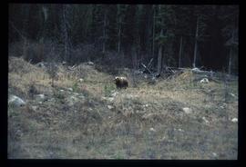
Image depicts a bear, possibly a grizzly. The location is uncertain.
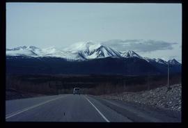
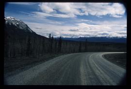
Image depicts a van on a highway with mountains in the distance; the location is uncertain, though it is possibly along the Alaska Highway.
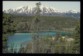
Image depicts a lake and a cabin at an uncertain location.
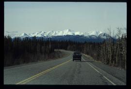
Image depicts a van on a highway with mountains in the distance; the location is uncertain, though it is possibly along the Alaska Highway.
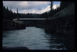
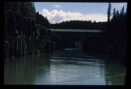
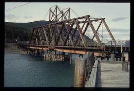
Image depicts the Robert Lowe Bridge, built in 1922, in the Miles Canyon near Whitehorse Y.T.
Image depicts the Robert Lowe Bridge, built in 1922, in the Miles Canyon near Whitehorse Y.T.
Image depicts a river in the Miles Canyon near Whitehorse Y.T. The Robert Lowe Bridge, built in 1922, can be seen over the canyon.
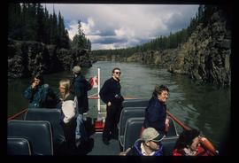
Image depicts several unidentified individuals on a boat in the Miles Canyon near Whitehorse Y.T.
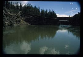
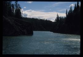
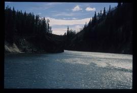
Image depicts a river in the Miles Canyon near Whitehorse Y.T.
Image depicts a river in the Miles Canyon near Whitehorse Y.T.
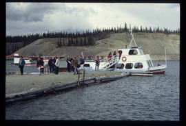
Image depicts numerous unidentified individuals getting off a boat which bears the name "Schwatka." It is located somewhere in Miles Canyon.
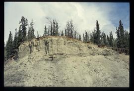
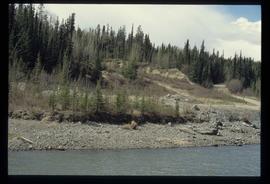
Image depicts what appears to be an eroding rock face. The slide itself is labelled "ash loger at top" for unknown reasons. Possibly located somewhere near Whitehorse, Y.T.
Image depicts a small section of the Alaska Highway somewhere near Whitehorse, Y.T. The slide also appears to be labelled "army washing" for unknown reasons.
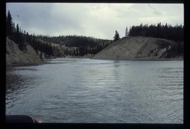
Image depicts the river which runs through Miles Canyon, located near Whitehorse Y.T.
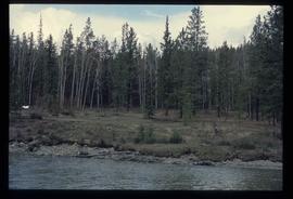
Image depicts numerous trees on the bank of a river, possibly in Miles Canyon near Whitehorse, Y.T. The slide is labelled "canyon city."
Image depicts a river at an uncertain location, but possibly in Miles Canyon near Whitehorse, Y.T.
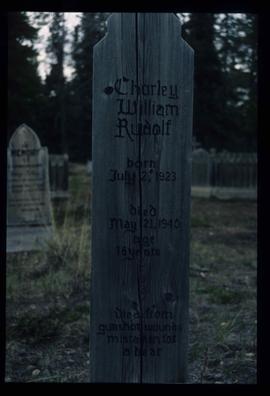
Image depicts the grave of Charley William Rudolf in the Atlin Cemetery. It reads: "Born July 2, 1923. Died May 21, 1940. Age 16 years. Died from gunshot wounds, mistaken for a bear."
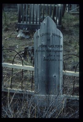
Image depicts the grave of John Wolters in the Atlin Cemetery. It reads: "Born in Kent, England, Jan 16 1857. Died Sept. 21 1905."
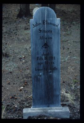
Image depicts the grave of John Elmwood Simons in the Atlin Cemetery. It reads: "died Feb. 8, 1914, age 61 yrs. froze to death."
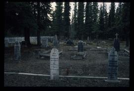
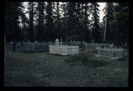
Image depicts numerous graves in the Atlin Cemetery.
Image depicts numerous graves in the Atlin Cemetery.
Image depicts Bennett Lake near Carcross, Y.T.
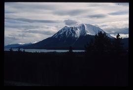
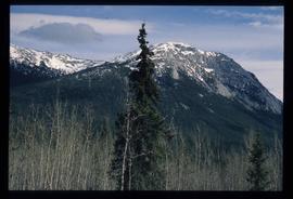
Image depicts a mountain, possibly Atlin Mountain.
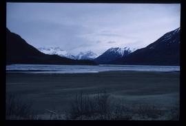
Image depicts what is possibly Atlin Lake, with numerous mountains in the distance and Atlin Mountain visible on the right of the image.
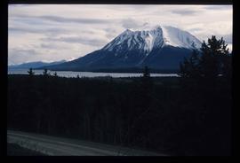
Image depicts a mountain, possibly Atlin Mountain.
Image depicts a mountain somewhere along what is possibly the Atlin Road.
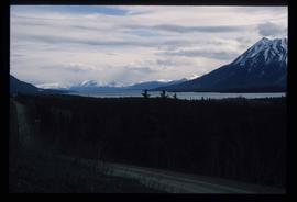
Image depicts what is possibly Atlin Road. Numerous mountains are visible in the distance.
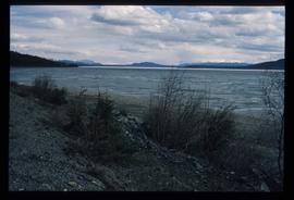
Image depicts a lake somewhere along what is possibly the Atlin Road to Atlin, B.C.
Image depicts a lake somewhere along what is possibly the Atlin Road to Atlin, B.C.
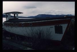
Image depicts an old boat on the shore of Atlin Lake.
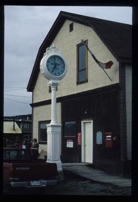
Image depicts the post office in Atlin, B.C.
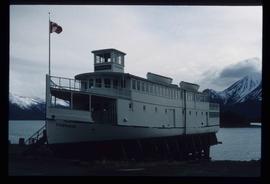
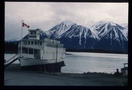
Image depicts a boat named "the Tarahne," which is located in Atlin, B.C. Atlin Lake and Mountain are visible in the background.
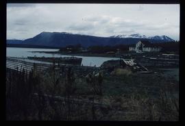
Image depicts a dock on the shore of Atlin Lake, as well as a building that may have once been a hospital. The slide is simply labelled "hospital."
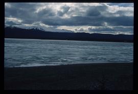
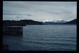
Image depicts Atlin Lake.
Image depicts a boat named "the Tarahne," which is located in Atlin, B.C. Atlin Lake and Mountain are visible in the background.
Image depicts what appears to be a footbridge at an uncertain location.
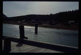
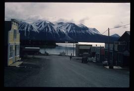
Image depicts what appears to be a small community on the shore of a lake. The location is uncertain.
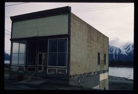
Image depicts an old building undergoing a restoration process, possibly in Atlin, B.C.
Image depicts Atlin Lake as well as a small section of Atlin, B.C. The mountain is possibly Atlin Mountain.
Image depicts the small town of Fraser, B.C. Located on the Klondike Highway.
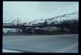
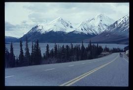
Image depicts the road to Skagway, Alaska. Possibly located on the Klondike Highway in British Columbia with Tutshi Lake on the left.
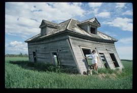
Image depicts Sue Sedgwick and a dog standing next to an old, collapsing cabin which is sloped sideways. The location is uncertain.
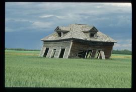
Image depicts an old, collapsing cabin which is sloped sideways. The location is uncertain.
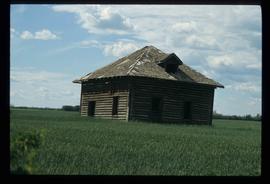
Image depicts an old abandoned cabin at an uncertain location.
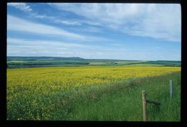
Image depicts a field of yellow plants at an uncertain location.
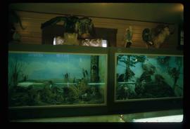
Image depicts stuffed wildlife exhibits inside the Station Museum in Dawson Creek, B.C.
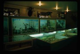
Image depicts stuffed wildlife exhibits inside the Station Museum in Dawson Creek, B.C.
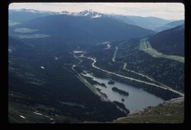
Image depicts a view of Pine Pass on the border between Alberta and British Columbia in the Rocky Mountains.
