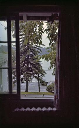
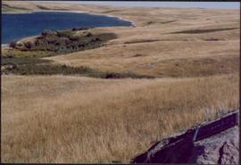
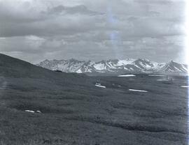
1996.2.3.1.334
·
Item
·
1983
Part of Brian Fawcett fonds
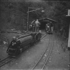
Photograph depicts View from the back door of the Fawcett family home in Morinville, Alberta.