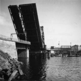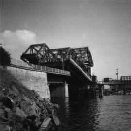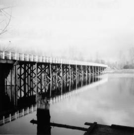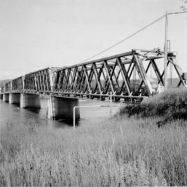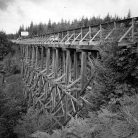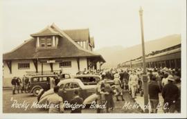
2013.6.36.1.001.23
·
Item
·
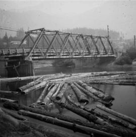
Aug. 1965
Part of David Davies Railway Collection
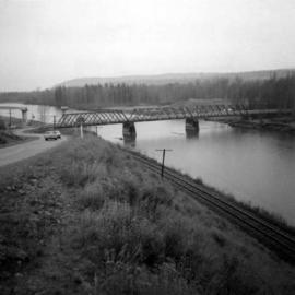
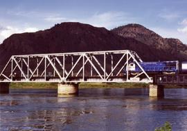
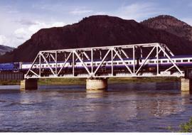
Photograph depicts a road bridge at Squamish B.C. from the north bank.