2000.1.1.3.13.20
·
Item
·
[ca. 1973]
Part of Cassiar Asbestos Corporation Ltd. fonds
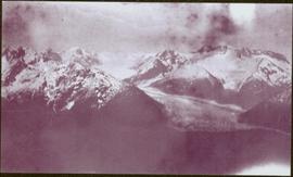
Photograph depicts the Cassiar mine. North peak featured in left background, South peak in right background, and West peak in right foreground. Area to left of the mining pit and West peak was called the "cirque waste dump." Location of new mine garage can be seen just above the "#7 switchback" road in bottom right foreground.