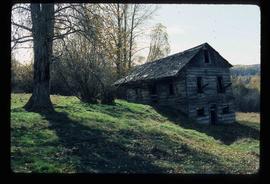
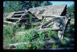
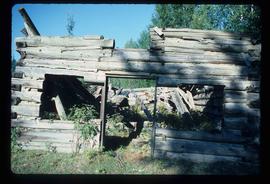
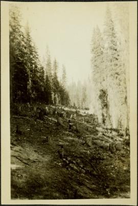
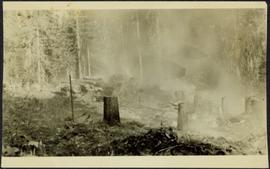
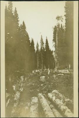
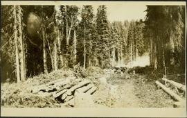
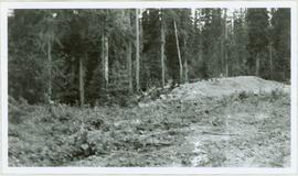
Image depicts a collapsing shack somewhere in the Seton Portage area.
Image depicts an old, collapsing cabin somewhere in the Fort George Canyon Provincial Park, B.C.
Image depicts a collapsed cabin in Quesnelle Forks, B.C.
Image depicts numerous trees in the coastal forest of Haida Gwaii, B.C.
Image depicts the coastal forests on the shores of Haida Gwaii, B.C.
Image depicts the coastal forests on the shores of Haida Gwaii, B.C. An unknown individual is crouching on the beach in the image.
Image depicts the coastline of Haida Gwaii, B.C.
Image depicts a view of the coast of Haida Gwaii.
Image depicts an aerial view of the coastline of Haida Gwaii, B.C.
Image depicts a view of the coast of Haida Gwaii.
Image depicts the coastline of Haida Gwaii, B.C.
Image depicts a view of the coast of Haida Gwaii.
The item is a photograph depicting a garbage pile at the Railway Museum area prior to being built. Attached note on picture states, "Present location of Railway Museum. Infamous garbage pile dumped in Cottonwood Island Park by CNR. Circa 1978."
Photograph depicts clouds in the sky behind snow-covered peaks and the base of the mountain is covered in trees.
Photograph depicts a close-up view of a snake.
Photograph depicts a close-up of a bird on a snow-covered ledge with trees in the background.
Photograph depicts exposed asbestos fibre in talus.
Photograph is one of 13 images printed from digital format on a CD-R featuring members of a group referred to as 'Terracites' (see item 2009.6.1.697) pictured in the gardens; see also items 2009.6.1.698 - 2009.6.1.710.
Photograph is one of 13 images printed from digital format on a CD-R featuring members of a group referred to as 'Terracites' (see item 2009.6.1.697) pictured in the gardens; see also items 2009.6.1.698 - 2009.6.1.709.
Handwritten annotation on verso reads: “With the boss at Kivsta, Q.C.I.: May 1976, 13,000 yrs. carbondated habitation in the same location-- The real Charlottes and his counter culture protection in the rain, mist, moss and dense forest of the Haida”.
Photograph is one of 13 images printed from digital format on a CD-R featuring members of a group referred to as 'Terracites' (see item 2009.6.1.697) pictured in the gardens; see also items 2009.6.1.698 - 2009.6.1.710.
Grass in foreground, trees in background. Photograph speculated to have been taken in Nass Valley, B.C.
Photograph is one of 13 images printed from digital format on a CD-R featuring members of a group referred to as 'Terracites' (see item 2009.6.1.697) pictured in the gardens; see also items 2009.6.1.698 - 2009.6.1.710.
Close up photograph of a large residential building in a freshly clear cut area. To the right of the main building is the church and an unidentified commercial building. Annotation on recto reads: "Prince Rupert, BC 1660."
Photograph depicts a close up of tree regrowth at an old burn site. Fallen logs piled on top of each other are seen in the clearing between the areas of regrowth.
Image depicts a view of the scenery near Clinton, B.C.
Image depicts a climbing either up or down a rock face.
Image depicts a camper passing under an overhang as it drives along a narrow road near a cliff; located somewhere near Bralorne, B.C.
Image depicts a camper parked on the side of a narrow road along a cliff as another car approaches; located somewhere near Bralorne, B.C.
Photograph depicts tree stumps in forest clearing of the railway right-of-way.
Photograph depicts stumps and log piles in forest clearing of the railway right-of-way.
Photograph depicts men walking among stumps and log piles in forest clearing of the railway right-of-way.
Photograph depicts smoke, stumps and log piles in forest clearing of the railway right-of-way.
Slide depicts a cleared area in a forest, likely at the Aleza Lake Experiment Station.
Image depicts a clearing at Island Cache.
Photograph depicts cleared area of forest, vehicle tracks visible in the mud, and a large dirt area in midground.
Slide depicts a cleared area at the Aleza Lake Experiment Station with plant regeneration.
Image depicts a highway, and a section of mountain in the background which is bare due to clear-cut logging. It is possibly somewhere near Prince George, B.C.
Image depicts a logging area, and a section of mountain in the background which is bare due to clear-cut logging. The slide is also labelled "logging show." It is possibly somewhere near Prince George, B.C.
Image depicts the Clayhurst Ferry on the Peace River.