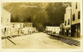
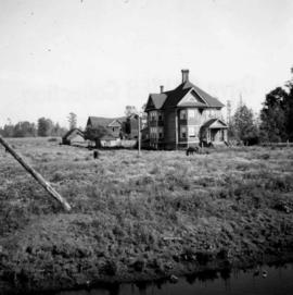
2012.13.2.02.72.06
·
Item
·
15 June 2007
Part of J. Kent Sedgwick fonds
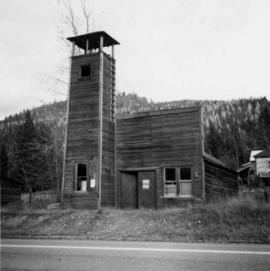
The item is a photograph of the front of Fire Hall no. 1, 7th avenue, Prince George.