2013.6.36.1.002.029
·
Item
·
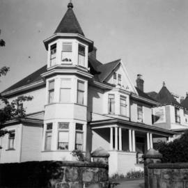
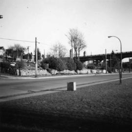
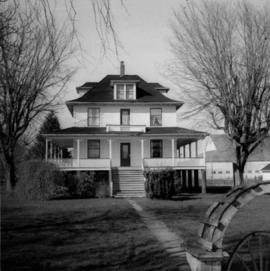
[June 1965]
Part of David Davies Railway Collection
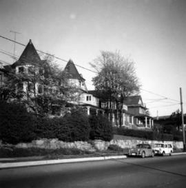
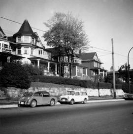
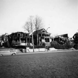
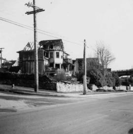
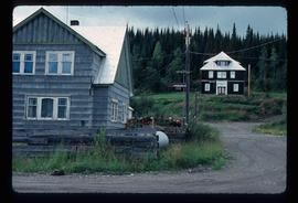
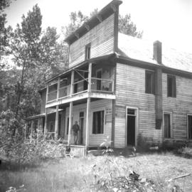
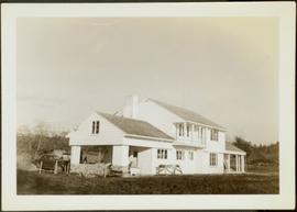
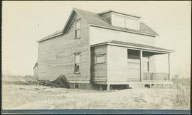
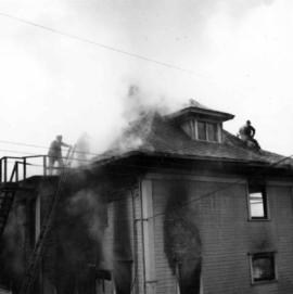
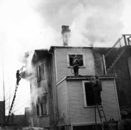
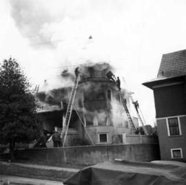
Photograph depicts a home at 1310 Comox St. in Vancouver, B.C. View is of the east side of the house, facing Jervis St.