2009.6.13.49.1250
·
Item
·
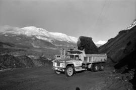
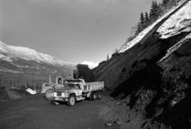
Nov. 1978
Part of The Honourable Iona Campagnolo fonds
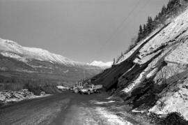
Photograph depicts a loader filling a truck with dirt from the damaged road near Moricetown.