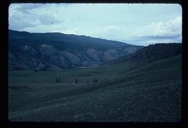
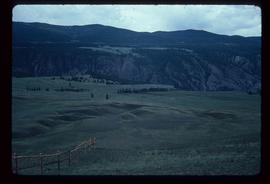
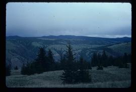
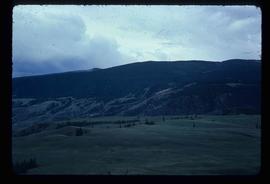
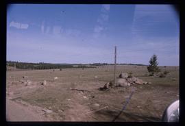
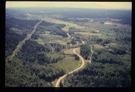
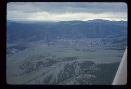
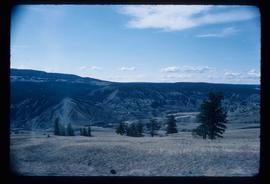
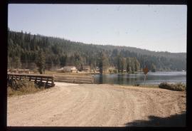
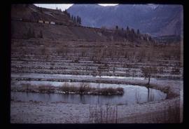
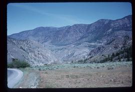
Image depicts a view of the landscape of the Chilcotin Wildlife Area.
Image depicts a view of the landscape of the Chilcotin Wildlife Area.
Image depicts a view of the landscape of the Chilcotin Wildlife Area.
Image depicts a view of the landscape of the Chilcotin Wildlife Area.
Image depicts a view of the landscape in an uncertain location.
Image depicts an aerial view of a landscape at an uncertain location.
Image depicts an aerial view of the land near the Fraser River. The Fraser River is barely visible on the right side of the image.
Image depicts an aerial view of the land near the Fraser River.
Image depicts a view of a mountainous landscape, possibly near the Fraser River.
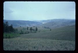
Image depicts the rolling hills of the Chilcotin Wildlife Area.
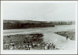
Landscape with stumps, and roadbed with small (railroad?) track in foreground. River crosses midground, trees and sky in background. Men can be seen standing on far right on raised roadbed.
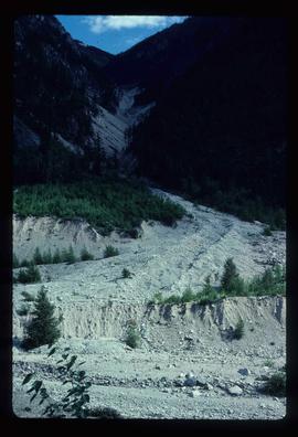
Image depicts what is possibly the remaining traces of a small land or rock slide; located somewhere near Bralorne, B.C.
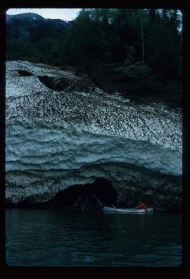
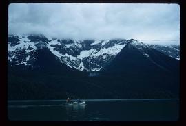
Image depicts the snow still remaining from an avalanche at Lanezi Lake. Two people are also seen canoeing on the lake.
Image depicts a cirque in the mountains surrounding Lanezi Lake. Two individuals can also be seen canoeing on the lake.
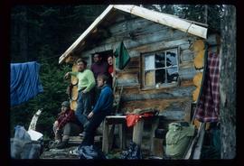
Image depicts the canoe group at the Turner Creek Cabin by Lanezi Lake.
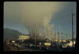
Image depicts a large building with numerous vehicles in the foreground.
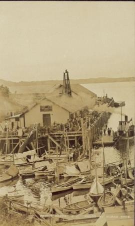
Large crowd is gathered around main building in a harbor. Many boats visible in foreground. Smoke from tugboat partially obscures the scene. Annotation on recto reads: "Prince Rupert BC. Photo by MCrae Bros."
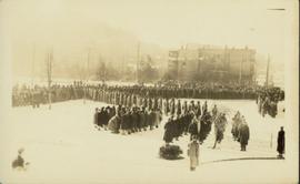
Slightly elevated view of a large crowd gathered in a park during the winter in Prince Rupert, BC. They appear to be observing some sort of ceremony or event that is out of frame.
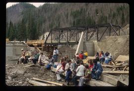
Image depicts a large group of people sitting and eating near a bridge at an uncertain location, though possibly near Hudson's Hope, B.C.
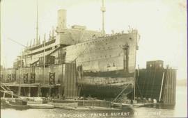
View from of a large ship in dry dock surrounded by water. Printed annotation on recto reads: “G.T.P. Dry dock Prince Rupert B.C. McRae.”
Photograph depicts a skiff of fresh snow covering a fallen tree in the foreground. Tents and suspended tarps in the midground. A haze of wood smoke drifts into the snowy forest in the background.
Photograph depicts several men and a dog stand on snowy ground, a canvas tent on the left. A rough hewn table on the right background.
Map is entitled "Latest Map of Fort George District" and published 1912. Includes Peace River Recording Land District, Fort George Land Recording District, and Cariboo Land Recording District. Several sections are marked with red pencil.
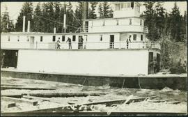
Photograph depicts men standing on different deck levels of conveyor on the Fraser River. Wood planks built into shore in foreground, trees on opposite shore in background. Handwritten annotation on verso of photograph reads: "Launching Conveyor", on recto: "Launching the rebuilt steamer Conveyor at Tete Jaune 1912".
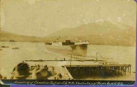
Dock in foreground, ship in water, mountain in background. Unidentified men partially visible in foreground. Printed annotation on recto reads: “Launching of Canadian Scottis –CGM.M. 5500, ton ship at Prince Rupert B.C.”
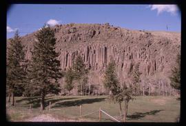
Image depicts a formation of rock; presumably solidified lava, as the slide is simply labelled "lava." The location of the image is uncertain.
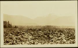
Handwritten annotation on verso reads: "Lava plain Upper Nass River". Forest and hills visible in distance across plain.
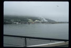
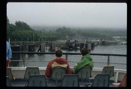
Image depicts numerous boats docked by the Prince Rupert Fishermen's Co-operative Association from the deck of a ferry, possibly as it's leaving Prince Rupert, most likely for Haida Gwaii.
Image depicts several individuals seated on a ferry as it possibly departs from a dock somewhere in Prince Rupert, B.C. It is most likely headed for Haida Gwaii, B.C.
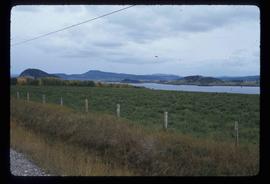
Image depicts a view of the Fraser Lake from Lejac, B.C.
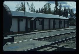
Image depicts the BCR station in Leo Creek, B.C.
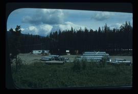
Image depicts a few piles of culverts in Leo Creek, B.C.
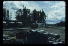
Image depicts a building, possibly an office building, next to a set of rail road tracks in Leo Creek, B.C. An unknown individual is present, and a number of barrels and culverts are visible in the foreground.
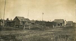
Photograph depicts a cluster of wooden buildings including a flagpole and church spire at a Lheidli T'enneh village site. Original photo identified this image as "Indian Village, Fort George".
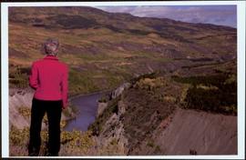
Handwritten notation affixed to verso reads: “Stikine Canyon Sept 2006”.
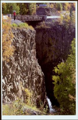
The Lieutenant Governor stands next to bridge and highway at top of image, cliffs and white water rapids visible below.
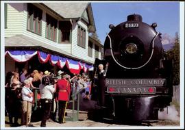
Front of engine reads "BRITISH COLUMBIA, CANADA", "2860". Decorated building stands in left background. A man with large video camera and an RCMP officer in a red serge can be seen standing in crowd. Mountain peak visible in distance.
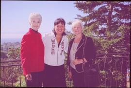
Trees and town can be seen from balcony, and mountains are visible across water in background. Handwritten annotation on verso reads: “Aug 2006, Her Honor, Dorothy Grant & Carole Sabiston”.
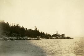
Photograph depicts a view from the ocean toward a lighthouse on a rocky ocean shore point. There are a few building near the lighthouse.
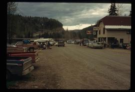
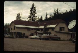
Image depicts numerous vehicles and individuals outside a hotel in Likely, B.C.
Image depicts a bridge, and the town of Likely on the the other side of a river.
Image depicts a hotel in Likely, B.C.
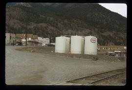
Image depicts Lillooet, B.C.
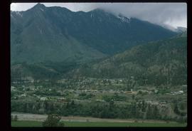
Image depicts a view of Lillooet, B.C.
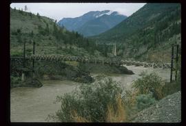
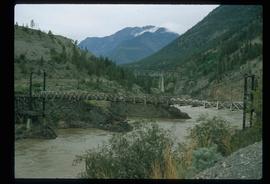
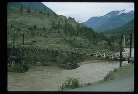
Image depicts two bridges over the Fraser River, located somewhere in Lillooet, B.C.
Image depicts two bridges over the Fraser River, located somewhere in Lillooet, B.C.
Image depicts two bridges over the Fraser River, located somewhere in Lillooet, B.C.
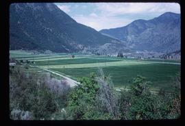
Image depicts some farmland in Lillooet, B.C.
Image depicts rows of water, possibly being irrigation ditches, somewhere in Lillooet, B.C.
Image depicts a view of the mountains surrounding Lillooet, B.C.
