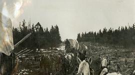
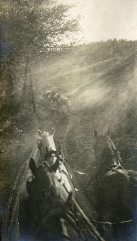
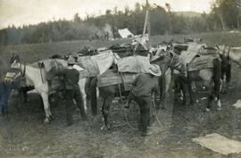
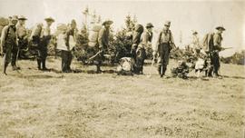
Showing 3756 results

Archival description
3615 results with digital objects Show results with digital objects
Peace River Canyon
2000.19.2.15 · Item · 29 Aug. 1927-26 Sept. 1927
Part of Prentiss Gray Collection

Photograph depicts the Peace River Canyon with the Peace River in the foreground and rocky, tree-lined cliffs flanking the river. In the background a forested mountain base is visible.

Peace River
2008.2.1.25 · Item · 2 January 1945
Part of Northern BC Cartographic Collection

Colour-coded topographic map depicting surveyed lands alienated, available for purchase or lease, or available for pre-emption. Depicts land districts, land recording districts, parks, communities, bodies of water, transport routes, communication lines, and triangulation stations.

Peace River
2012.13.1.91.12 · Item · Oct. 1978
Part of J. Kent Sedgwick fonds

Image depicts the Peace River, possibly near Clayhurst or Hudson's Hope, B.C.

Peace River
2012.13.1.91.13 · Item · Oct. 1978
Part of J. Kent Sedgwick fonds

Image depicts the Peace River, possibly near Clayhurst or Hudson's Hope, B.C.

Peace River?
2012.13.1.91.06 · Item · Oct. 1978
Part of J. Kent Sedgwick fonds

Image depicts what is possibly the Peace River running parallel to a road, possibly Highway 29.

Peace River
2012.13.1.93.27 · Item · 1978
Part of J. Kent Sedgwick fonds

Image depicts the Peace River and visible layers of sediment deposits in the surrounding cliffs.

2011.13.53 · Item · 9 August 1911
Part of Parker photograph collection

Side perspective photograph of a Portland Canal Short Line engine being either loaded or unloaded by several men at the station in Stewart, BC. Printed annotation on recto reads: "Aug 9 1911 Stewart BC."

Pat's Pass
2012.13.1.79.18 · Item · Aug. 1977
Part of J. Kent Sedgwick fonds

Image depicts a view of a valley; the slide itself labels the image in two places, "central basin" on the left side of the image, and "Pat's Pass" on the top of the image between the two mountains.

2012.13.1.87.004 · Item · [between 1975 and 1995]
Part of J. Kent Sedgwick fonds

Image depicts several eighteen wheelers at the Pass Lake Road and Upper Fraser Road intersection with numerous houses and buildings in the background in McGregor, B.C. Map coordinates 54°04'38.1"N 121°50'00.1"W

2009.5.2.52 · Item · [ca. 1910?]
Part of Taylor-Baxter Family Photograph Collection

Photograph depicts a man standing in a loaded canoe floating close to shore. Two men stand on rocky shore in left foreground. Tall hills in background, river rapids behind canoe in midground. Handwritten annotation on recto of photograph: "Parle Pas Rapids Peace River."

Parking Lot Frisbee
2012.13.1.93.18 · Item · 1979
Part of J. Kent Sedgwick fonds

Image depicts a group of people throwing a frisbee in a parking lot at an uncertain location, likely in the Peace River Region.

Paddlewheel Park
2012.13.1.7.202 · Item · Nov. 2000
Part of J. Kent Sedgwick fonds

Image depicts the Fraser River at Paddlewheel park, with a train on the other side of the river, in Prince George B.C.

Paddlewheel Park
2012.13.1.7.201 · Item · Nov. 2000
Part of J. Kent Sedgwick fonds

Image depicts the Fraser River at Paddlewheel park, with a train on the other side of the river, in Prince George B.C.

2009.5.4.52 · Item · [ca. 1912]
Part of Taylor-Baxter Family Photograph Collection

Photograph depicts four men on conveyor, and clear view of paddle wheel. A small boat is docked to the conveyor with men and equipment. Crowd of men on shore in foreground on right, trees on opposite shore in background. Mountains visible in distance. Handwritten annotation on verso of photograph reads: "Str. Conveyor".

Packing horses
2014.10.1.010 · Item · 1907
Part of Arthur Holland Land Surveying Collection

Photograph depicts a group of horses in process of being loaded with packs. Four or more men attend. There is a canvas tent, open fire and more people in the background.