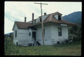
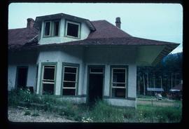
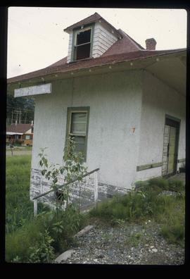
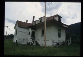
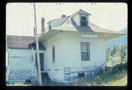
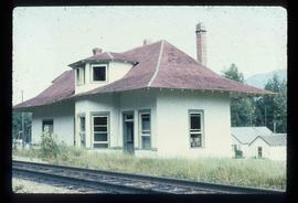
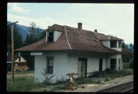
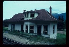
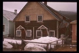
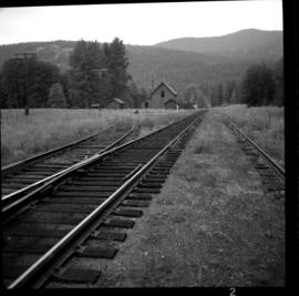
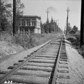
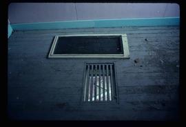
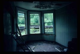
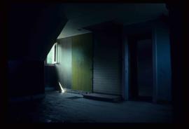
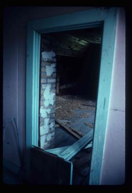
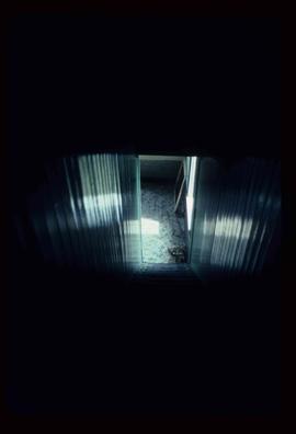
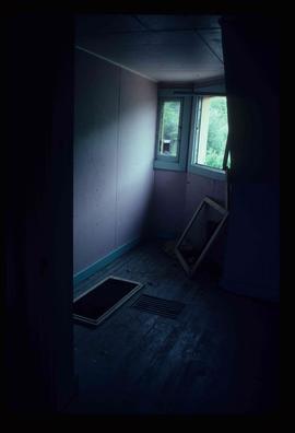
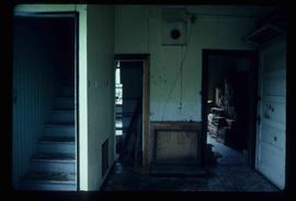
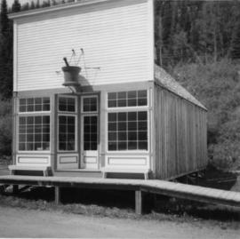
Photograph depicts the completely rebuilt drug store in Barkerville based on historical sketches and photos.
Ground level view of the dry dock in Prince Rupert, BC. Printed annotation on recto reads: "$3,000,000 Dry Dock and Shipbuilding Plant, Prince Rupert B.C." Handwritten annotation on verso reads: "With much love. To Many from Raha[??]."
Photograph depicts buildings visible through clearing in trees. Water crosses foreground, hills visible in background.
Handwritten annotation on verso reads: "Dry dock / Prince Rupert B.C."
Photograph depicts large dry rock storage building on left, mill in background, dryer building on far right. Road and power poles cross foreground, mountains stand in background. Photo caption next to printed copy of image in 1953 Annual Report: "Completed dry rock storage and dryer buildings."
Photograph depicts large dry rock storage building in foreground on left, mill in background, dryer building in right midground. Miscellaneous supplies in far right foreground, mountains visible in background. Handwritten annotation on verso of photograph: "Sept 1954". This photograph was originally stored inside duotang labeled "CASSIAR ASBESTOS CORPORATION LIMITED PHOTOGRAPHS 1954"; photo caption beneath this image: "40,000 Ton Dry Storage Building / Mill / Dryer Building".
Photograph depicts large dry rock storage building in foreground on right, mill on left behind tailings pile, and dryer building in centre behind conveyor belt connecting mill to dry rock storage. A cloud can be seen rising from plantsite. Trees and Troutline Creek cross foreground, mine valley and mountains visible in background. Stamped annotation on recto of photograph: "ANSCO PRINTON Munshaw Colour Service Ltd. MAR 10 1955".
Image depicts an old barn located somewhere near Dunlevy Creek in the Dawson Creek area.
Image depicts an old barn located at a dairy farm somewhere near Dunlevy Creek in the Dawson Creek area.
Photograph depicts the Dunsmuir crossing on the Esquimalt and Nanaimo Railway on Vancouver Island. It is 15 miles north of Parksville.
Image depicts an old, rundown building in Dunster, B.C. Possibly a disused Rail Station.
Image depicts the town of Dunster, B.C.
Image depicts the old Dunster Station in Dunster, B.C.
Image depicts the interior of the old Dunster Station in Dunster, B.C.
Image depicts the train tracks at the old Dunster Station in Dunster, B.C.
The photograph depicts Dunster train station next to twinned train tracks. Annotation on slide states, "Dunster."
Image depicts a duplex in Wells, B.C.
Overview of sawmill situated in valley. Finished lumber visible in distance.
Totem pole stands alone against a mountainous background.
Photograph of several commercial and residential buildings, including the church and "The Big Furniture Store." Annotation on recto reads: "Prince Rupert. BC Allen Photo July '11." Handwritten annotation on verso reads: "Early day- Prince Rupert."
Early spring landscape with roadbed and track in foreground, river in midground, and hill in background.
Handwritten annotation on recto: “PRINCE GEORGE 4-20-13”.
Photograph depicts the North peak of McDame mountain in the earlier stages of strip mining, South peak unmined in background. Quonset and other shops visible in left foreground, unknown building built into mountainside in right foreground.
Photograph depicts wood houses behind stand of trees in Cassiar valley. Truck, power poles, and road in foreground, mountains in background. Typed caption below photo in original duotang album: "Two Bedroom Pan-Abode Houses - Cassiar Townsite". Handwritten annotation on verso: "Sept 1954".
Photo of the Prince Rupert harbour. Many buildings are visible along the shoreline. Annotation on recto reads: "Harbour, Prince Rupert, BC. 1658."
Photo of the Prince Rupert harbour. Many buildings are visible along the shoreline. Annotation on recto reads: "Harbour, Prince Rupert BC. 1658." Handwritten annotation on verso reads: "Early Prince Rupert. Good view of Metlakatla Passage in distance- showery[?] Wolf Island."
Row of buildings with path and poles. Rough cleared land in foreground, men visible in far left background.
The item is a photograph slide reproduction depicting houses in flood waters on the east end of Prince George. Annotation states, "1936 east end."
Photograph depicts East Pender St., looking west towards the Vancouver Sun newspaper office near Abbot St. in Vancouver, B.C.
Photograph depicts town buildings on opposite shore. Beach and dock can be seen in foreground.
Handwritten annotation on verso reads: "Chapter XXII, No 1. Eastern Section of Port Simpson as christianized."
Photograph depicts a large totem pole next to groomed dirt paths. Power poles and river visible in background.
Handwritten annotation on verso reads: "Edenshaw pole in park at Prince Rupert."
Photograph depicts the CPR line at Eholt, located at mile 108.7 from Nelson on the Boundary Subdivision. It was a formerly bustling junction with the left-hand spur leading to Phoenix. Nor it only has 3 way freight trains a week from Nelson to Midway. The view is looking west.
The item is a photograph depicting a red feed-saver automatic electric waterer.
Photograph depicts the electricity station at Coghlan on the B.C. Electric Railway, which is 9 rail miles east of Langley in the Fraser Valley. The view is looking east.