2012.13.3.1.15.18
·
Item
·
2002
Part of J. Kent Sedgwick fonds
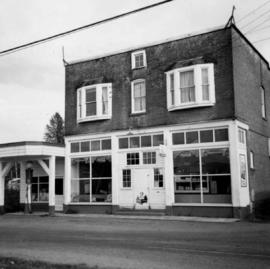
The item is a photograph reprint originally taken between 1967 and 1975. The photograph depicts the exterior front of Prince George City Hall prior to its three story expansion in 1975. The photograph is taken from across Patricia Boulevard. The address is 1100 Patricia Boulevard.