2013.6.36.1.033.02
·
Item
·
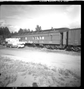
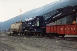
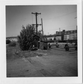
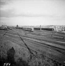
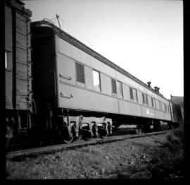
[24 May 1967]
Part of David Davies Railway Collection
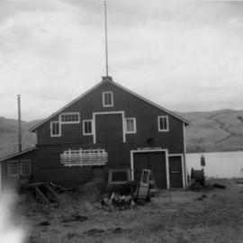
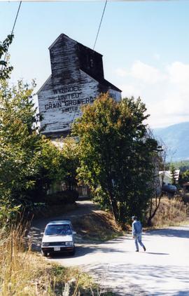
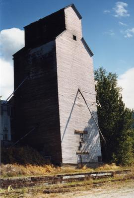
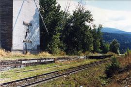
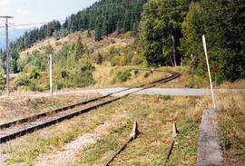
Photo was taken approximately five minutes north of Duncan, Vancouver Island. Steel passenger car #411292 is visible and has been converted to a bunk and mess car as part of a work train on a stations spur. There are 6 wheel trucks. There is no date indicated for the building.