Item
·
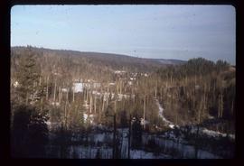
8/1/1962
Part of Mary Fallis fonds
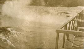
Cloud formations