2014.10.1.006
·
Item
·
1907
Part of Arthur Holland Land Surveying Collection
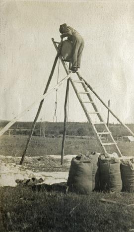
Photograph depicts a man standing on a high ladder pouring grain from a sack to a tarp below. Sacks of grain in the foreground, field and trees in the background.