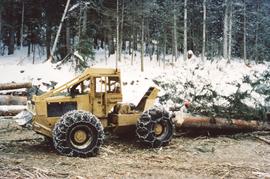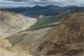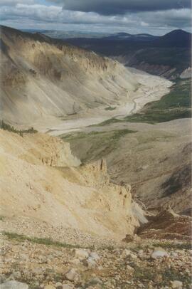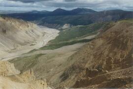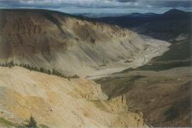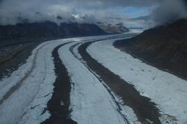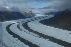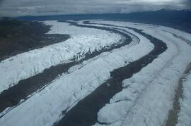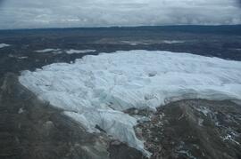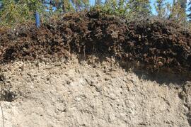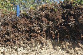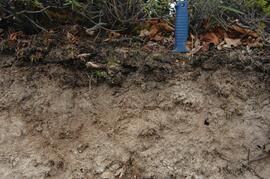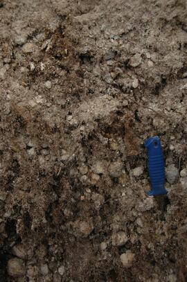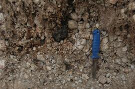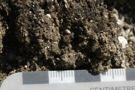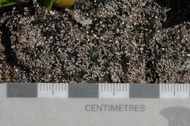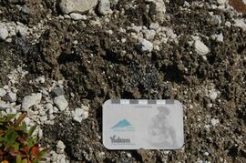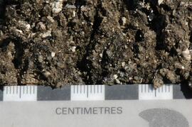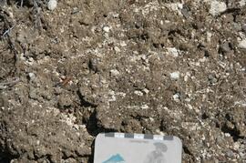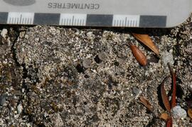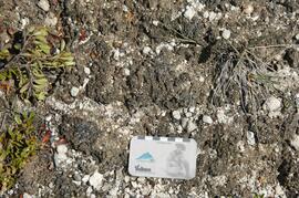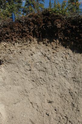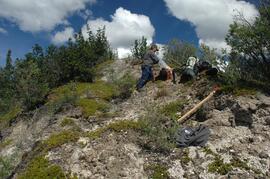
2006.18.6.03.05
·
Item
·
[before 11 Jan. 1994]
Part of Aleza Lake Research Forest Society fonds
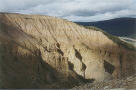
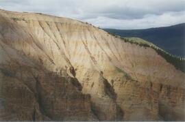
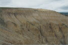
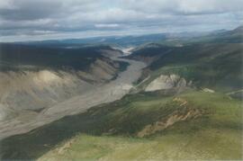
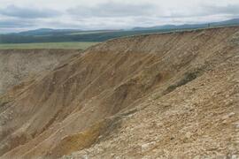
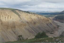
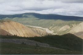
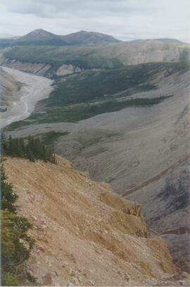
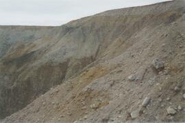
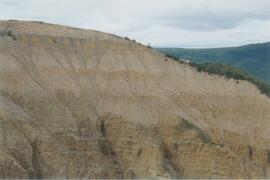
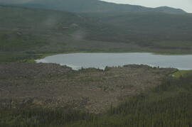
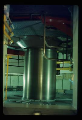
No annotation on slide.