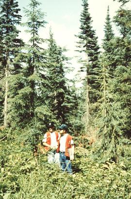
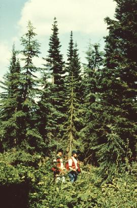
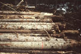
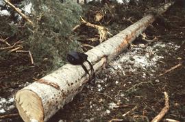
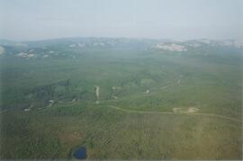
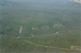
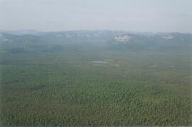
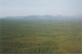
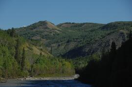
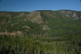
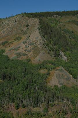
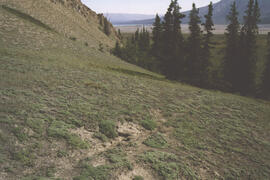
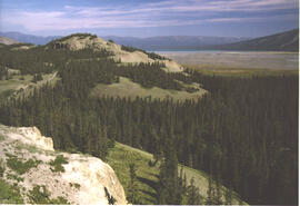
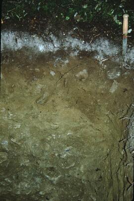
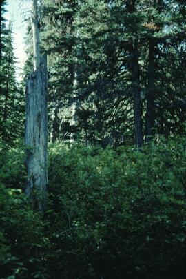
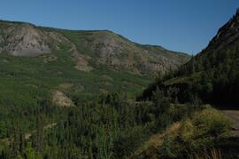
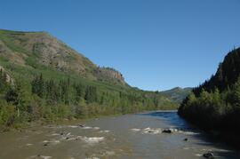
Annotation on slide: "Blowdown due to butt rot (tomentosus), Summit Lake".
Annotation on slide: "Basal scarring on Douglas fir, Summit Lake".
No annotation on slide.
Annotation on slide: "Light residual basal area, Summit Lake, Summer '92, Jull".
Undated 2-page memo to Dave [Carter?] [from Scott Smith?] with review comments on a draft manuscript; attached to a draft table with basic characterization data for 3 paleosol sequences at the Lost Chicken mine (profile numbers 91010, 91011, & 91013)
Forest cover map showing a crossing area of the McGregor River is annotated with a road and ferry crossing.
No annotation on slide.
Annotation on slide: "Marked-to-cut tree with old scar, Summit selection trial".
Item is a recording of a memorial service held for Margaret Benston with speeches and music by friends and colleagues.
Item is an interview completed for a Canadian Studies 390/391 course at Simon Fraser University about the life and career of Margaret Benston.
Photograph depicts unidentified man in dress shirt and tie standing next to large Caterpillar engine on flatbed. Road in foreground, unidentified building in background. Accompanying note reads: "MTCE 4-01 (b) Cat 3612 Engine".
This born-digital document consists of field observations for Mackenzie Valley sites N04-06 to -08, Aug. 9-10.
Photograph depicts the Mackenzie Valley and the Franklin Mountains.
Photograph depicts the Mackenzie Valley and the Franklin Mountains. Pipeline is visible.
Image depicts an individual standing next to the world's largest tree crusher in Mackenzie, B.C.
Image depicts the world's largest tree crusher in Mackenzie, B.C.
Image depicts numerous individuals wearing hard hats in what appears to be a computer room somewhere in Mackenzie, B.C.
Image depicts a large, old piece of machinery, possibly some form of mining or prospecting equipment; it is located in Quesnelle Forks, B.C.
This born-digital "Lucille Mountain soils" document provides a description and basic data for the Lucille Mt. pedon.
Annotation on slide: "Summit Lake, March 1992".
Image depicts numerous piles of logs, and two unidentified individuals operating an excavator with a "thumb" attachment during the demolition of the Upper Fraser town site. Map coordinates 54°06'51.6"N 121°56'26.3"W
Annotation on slide: "[mostly illegible] Km 3 [?] pinker [?] cubic block"
Annotation on slide: "Summit Lk".