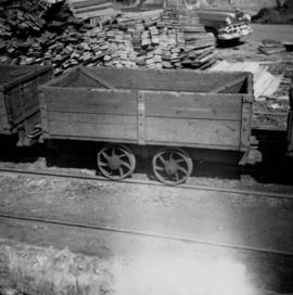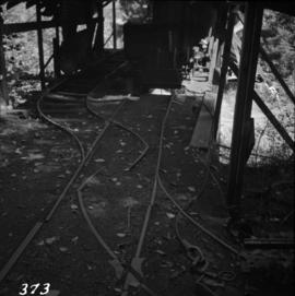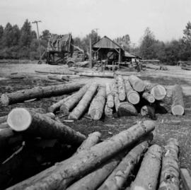
2013.6.36.1.004.27
·
Item
·
[May 1965]
Part of David Davies Railway Collection
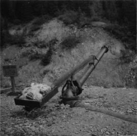
Photograph depicts a small sawmill on the Old Yale Rd., near the intersection of Robson Rd. in South Westminster, Surrey.