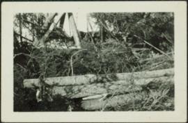
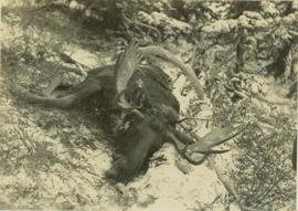
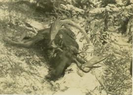
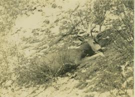
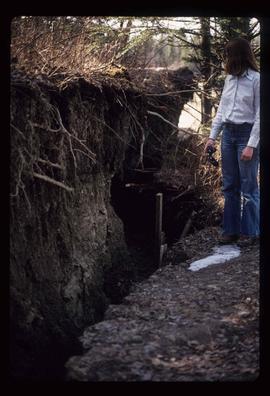
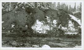
Image depicts two unidentified individuals standing outside a small, enclosed area somewhere in a forest. The location is uncertain.
Image depicts a fence and power lines near the shore on Haida Gwaii. It is possibly a small community such as Masset.
Image depicts a fence, perhaps somewhere in the Chilcotin region.
Image depicts a fence in the Blackwater River area in the Chilcotin.
Image depicts a fence somewhere in Anahim Lake, B.C.
Image depicts a wooden fence at an uncertain location, perhaps somewhere in the Chilcotin region.
Image depicts a wooden fence at somewhere in Meldrum Creek, B.C.
Photograph depicts logs lying in brush in foreground, unidentified structures in background (possibly a tent)?
Image depicts a large number of felled trees, and an unknown individual standing on the path.
Photograph depicts a felled moose on a snow-covered hillside.
Photograph depicts a felled deer on a snow-covered hillside with a rifle behind the deer.
Image depicts an unknown individual standing next to what appears to be a fault at an unknown location.
Image depicts what appears to be a fault at an unknown location.
Image depicts a farm at an uncertain location.
Image depicts a farm on the west side of the Fraser, south of Quesnel, B.C.
Image depicts what appears to be a farm at an uncertain location.
Image depicts a farm at an uncertain location.
Image depicts a farm at an uncertain location; possibly somewhere in the McGregor Valley.
Image depicts a farm at an unknown location.
Five woman and one young girl pose on grass in front of palm trees.
Image depicts some fallen trees at Island Cache.
Image depicts a view of an experimental farm, possibly taken from Tabor Mountain.
Photograph depicts the excavation area in forest where dragline cranes had been operating.
Image depicts three unidentified individuals examining rocks near a set of railway tracks at an uncertain location in the Peace River Region.
Image depicts a group of individuals who appear to be examining a rock. It is possibly part of an educational trip.
Photograph depicts evergreen trees surrounding the base of a snow-covered mountain.
Image depicts an evaporation pan for water evaporation measurements. The location is uncertain.
Image depicts an atmometer. According to the slide, it is being used for measuring the rate of water evaporation "from carborundum stone." The location is uncertain.
Image depicts Eskers Park, near Prince George, B.C.
Image depicts an eroding rock face; the river in the right corner of the image is possibly the Fraser River.
Image depicts what appears to be an eroding rock face. The slide itself is labelled "ash loger at top" for unknown reasons. Possibly located somewhere near Whitehorse, Y.T.
Image depicts an eroding rock face at an uncertain location.
Sign in foreground reads: “Stop Bull Shitting, [Phoney (crossed out)] Ioney”.
Handwritten annotation on verso reads: “The Kitimat Oil Port Environmental Lobby, didn’t believe I killed it. I did!”
Semi-visible sign reads: “Supertanks - Pipelines S.O.S.”
Photograph depicts crowd with individuals holding protest signs.
Photograph depicts the entrance to the Squamish River at Squamish, looking upstream. The pier on the left belongs to the original logging railway, circa 1909-1925.
Photograph of a team of sled dogs and resting men silhouetted against snowy mountaintops. Printed annotation on recto reads: "#92 Enroute to Naas On the Big Glacier."
Image depicts a building surrounded by a tall, circular enclosure somewhere on Haida Gwaii, B.C.
Image depicts employee houses on mill site in Giscome, B.C. Tug boats are in the foreground on the right. Map coordinates 54°04'23.4"N 122°22'16.9"W
Image depicts an earth flow north of Stone Creek, B.C.
Photo of the Prince Rupert harbour. Many buildings are visible along the shoreline. Annotation on recto reads: "Harbour, Prince Rupert BC. 1658." Handwritten annotation on verso reads: "Early Prince Rupert. Good view of Metlakatla Passage in distance- showery[?] Wolf Island."
Photo of the Prince Rupert harbour. Many buildings are visible along the shoreline. Annotation on recto reads: "Harbour, Prince Rupert, BC. 1658."
Photograph depicts the North peak of McDame mountain in the earlier stages of strip mining, South peak unmined in background. Quonset and other shops visible in left foreground, unknown building built into mountainside in right foreground.
Early spring landscape with roadbed and track in foreground, river in midground, and hill in background.
Handwritten annotation on recto: “PRINCE GEORGE 4-20-13”.
Image depicts Eaglet Lake in the winter taken from Giscome, B.C. Map coordinates 54°04'20.9"N 122°21'53.1"W